survey work

scan map to AutoCAD plotting image file scaling

how to make sag Template drawing transmission line in autocad #autocad #transmission line profile
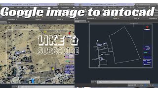
how to convert Google map to autocad #jpg to autocad Google Earth image scale in autocad

how to create L section in autocad #autocad #Longsection

Unit set Meter and Feet Dimensions in AutoCAD मीटर और फीट दोनों#feet#meter

how to divide irregular shape plot equal part in AutoCAD divide area equal part subdivision

how to view google earth image any year #Explore#Google map #google earth

Survey data to AutoCAD drawing
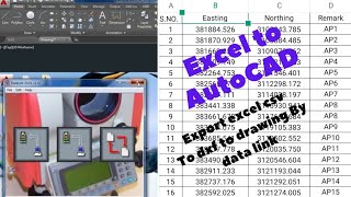
excel to autocad #excel #autocad

Transmission line profile AutoCAD to PDF custum paper size with scale

How to insert coordinate in AutoCAD

coordinate from autocad

How to google Earth image overlay in AutoCAD

Leica ts 07 station setup and setout point

Dgps survey how to set out point

drone Survey mapping with pix4d capture dji phantom 4 pro

DGPS survey How to configure base and rover geomax dgps

Topcon es55 total station resection #survey