Przemysław Slesiński
I invite you all to watch videos on my GIS and remote sensing channel. I hope that my tutorials will help you in your work with GIS and remote sensing data. If you like my videos please support my work and subscribe my channel or buy Tesla with my Referral:)
#remotesensing #GIS

Creating cloudless mosaic with Sentinel-2 Global Mosaic service

Google Earth Engine - creating cloudless mosaic and calculating NDVI / SAVI indices

How to install MicMac on Windows with GUI.

Agisoft Metashape - configuring vertical datum and geoid file

Google Earth Engine - object based image classification workflow

Zonal histogram - raster classes areas within a multiple polygons

Sentinel 1 processing in QGIS

SNAP - graph processing with GPT

Sentinel -1 coherence estimation in SNAP

Hyper-V sharing files between Virtual Machine and Host

ArcGIS - exporting attribute table to Excel

batch processing in QGIS

SNAP - installation and configuration

fake GPS location on Xiaomi Android smartphone

importing raster with symbolization to Google Earth

SHP to WKT in QGIS

confusion matrix with Orfeo Toolbox

Sentinel-1 wind speed and direction estimation with SNAP

Sentinel-1 ships and sea objects detection with SNAP

Sentinel-1 flood mapping with SNAP

clipping raster with shapefile in ArcGIS

masking raster with shapefile in ArcGIS

importing ENVI raster to ArcGIS

NDVI in ArcGIS

eCognition - automatic estimation of segmentation scale parameter

geotagged photos to map in ArcGIS

shapefile unique values list in QGIS

statistics for multiband raster with Orfeo Toolbox

calculating class separability and best separation distance dimension in eCognition
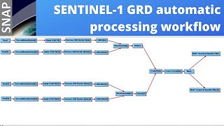
Sentinel-1 GRD automatic processing with SNAP graph builder