Скачать
SurveyTools for BricsCAD - Import and automate The Drafting Process With Seamless Integration
Автор: MicroSurvey
Загружено: 2023-07-20
Просмотров: 1069
Описание:
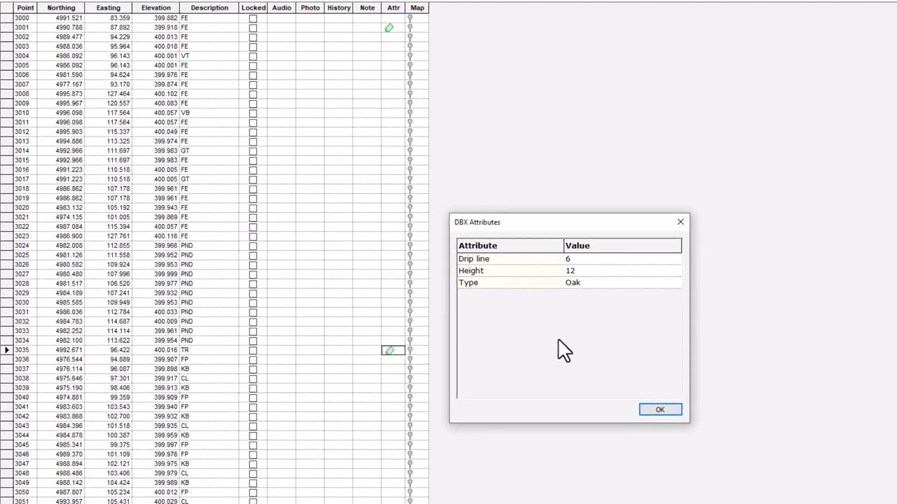
Survey software with a TOPO (Topographic) routine provides numerous advantages. It automates the creation of detailed topographic maps by extracting elevation data from survey measurements, significantly reducing manual effort. This feature improves accuracy, speeds up the mapping process, and enhances visualization, enabling surveyors to make informed decisions and deliver precise topographic representations for various applications.
Learn More
https://www.microsurvey.com/products/...
@BricsysOfficial
#bricsys #BricsCAD #BricsCADforCivilEngineering
Доступные форматы для скачивания:
Скачать видео mp4
-
Информация по загрузке: