Скачать
Watershed Delineation in QGIS (Quickest & Easiest Tutorial)
Автор: Geo Guru
Загружено: 2020-03-30
Просмотров: 77240
Описание:
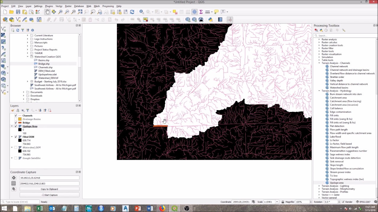
This tutorial will describe the shortest & easiest method to delineate watershed in QGIS.
You just need a DEM (Digital Elevation Model) of desired area and a reference base map like Google map of Google Earth Images
Tutorial to download SRTM DEM in QGIS through SRTM Downloader plugin
• Download SRTM DEM in QGIS
Tutorial to add Google Images and Maps in QGIS through HCMGIS plugin
• Google Earth Images in QGIS

Доступные форматы для скачивания:
Скачать видео mp4
-
Информация по загрузке: