How to Add Vector & Raster Data in ArcGIS | සිංහලෙන් | Easy GIS Practical Guide
Автор: Mapora
Загружено: 2026-01-24
Просмотров: 15
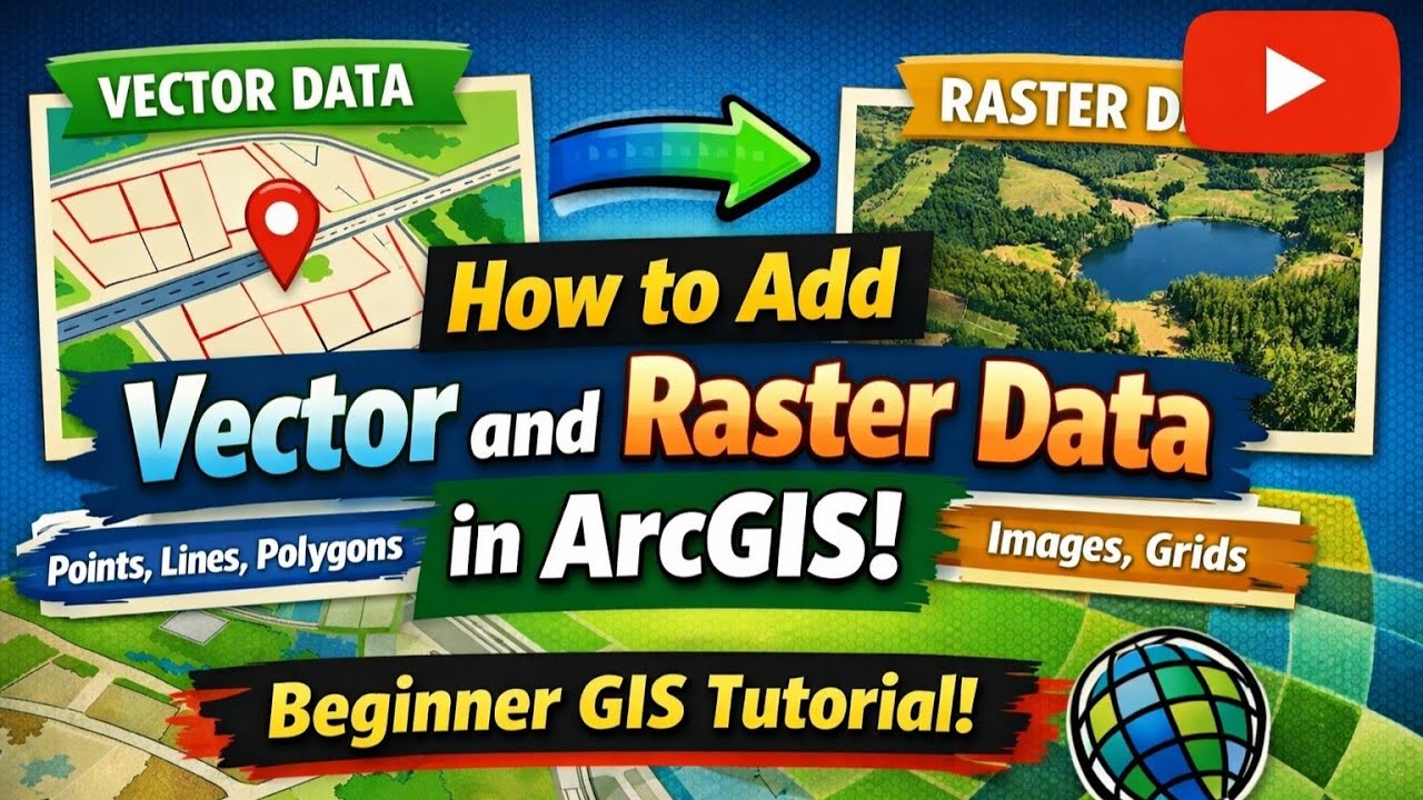
In this video, you will learn how to add vector and raster data to a map in ArcGIS step by step.
This beginner-friendly GIS tutorial explains:
How to add vector layers in ArcGIS
How to add raster data using the Add Data option
How to add raster layers using the Catalog Window
How to use drag and drop to add multiple raster datasets
Easy and practical methods for GIS students and beginners
This tutorial is ideal for: ✔ GIS beginners
✔ Students learning ArcGIS
✔ Diploma & degree students
✔ Anyone starting GIS practical work
📌 Next video: Attribute Handling in ArcGIS
If you find this video useful,
👍 Like | 🔁 Share | 🔔 Subscribe for more GIS tutorials
Mapora – Learning made easy
Доступные форматы для скачивания:
Скачать видео mp4
-
Информация по загрузке: