Points To Line Tool ArcGIS Pro
Автор: Husam Jubeh
Загружено: 2024-12-11
Просмотров: 880
Points To Line, Features Toolset, Data Management Toolbox
Summary
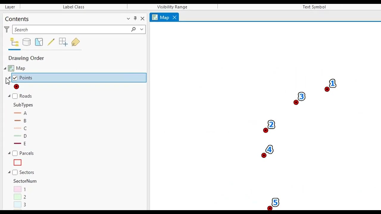
Creates line features from points.
Usage
Line features are only written to the output if the line will contain two or more vertices.
You can create polygons from the tool output by first using the Close Line parameter to close all output line features. You can then use the output line feature class as input to the Feature To Polygon tool.
point, points, joining points to lines in arcgis pro, arcgis pro tools, spatial join with points to lines, digitize points lines and polygons, joining point data to lines, how to construct points on lines, point features along lines in arcmap, point to line, lines, points along a line, point to line in gis, point on line, convert line to points in arcgis, generating x y coordinates of points in arcgis pro, number of points, arcgis pro: point & line density
أكثر من 50 أمتحان عن برنامج الـ ArcGIS Pro من خلال الرابط التالي:
https://bit.ly/ArcGISProQuizzes
الـ GIS وبرنامج ArcGIS Pro:
• شرح الـ GIS وبرنامج الـ ArcGIS Pro | اساسي...
التعامل والتفاعل مع البيانات الجغرافية ArcGIS Pro:
• التعامل والتفاعل مع البيانات الجغرافية Arc...
إنشاء البيانات الجغرافية وإدارتها ArcGIS Pro:
• أساسيات بناء وإدارة البيانات الجغرافية الا...
تحليل البيانات:
• تحليل البيانات الجغرافية الارك جي اي اس بر...
العمل والتحليل مع البيانات ثلاثية الأبعاد:
• العمل والتحليل مع البيانات ثلاثية الأبعاد ...
لمتابعة موقع GISforWE من هنا:
https://bit.ly/GISforWE
تنزيل برامج ArcGIS Pro مدى الحياة وقاعدة بيانات جاهزة للتعلم:
https://gisforwe.blogspot.com/2022/11...
موقع لكل مهتم في مجال نظم المعلومات الجغرافية GIS من هنا:
https://gisforwe.blogspot.com/
اليك صفحه ومجموعة على الفيس بوك لتعلم أكثر بما يخص نظم المعلومات الجغرافية (GIS) و برامج ArcGIS Pro من خلال هذه الروابط:
مجموعة على الفيس بوك ArcGIS Pro :
/ 486795389231905
مجموعة على الفيس بوك GIS for WE - ArcGIS:
/ esri.arcgis
صفحة الفيس بوك GIS for WE:
https://www.facebook.com/profile.php?...
#ArcGISPro
#Analysis_GIS
#Data_Analysis
اعداد وتقديم المطور والباحث في مجال نظم المعلومات الجغرافية حسام جعبه
رام الله - فلسطين.
#GISforWE
GIS for World of E-Learning
Доступные форматы для скачивания:
Скачать видео mp4
-
Информация по загрузке: