How Geospatial Technology Detects Illegal Mining | GIS, Drones & Satellite Mapping Explained
Автор: Onidex Geo-Spatial Solutions
Загружено: 2025-10-12
Просмотров: 31
Illegal mining is destroying ecosystems, harming communities, and draining national economies — but geospatial technology is changing the game. 🌍
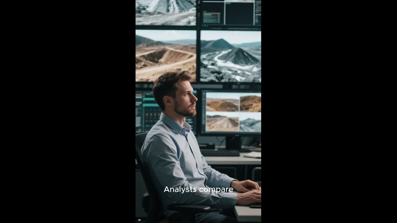
In this video, we explore how satellite imagery, drones, and GIS tools are being used to detect and monitor illegal mining activities across the globe. From identifying hidden mining sites in remote forests to providing digital evidence for enforcement, these advanced mapping tools are revolutionizing environmental protection.
You’ll learn how:
🚀 Satellites reveal deforestation, soil disturbance, and water pollution patterns
🛰️ Drones capture high-resolution visuals for on-the-ground verification
🗺️ GIS integrates all this data to identify and track illegal mining hotspots
By combining these technologies, authorities can act faster, safer, and smarter—protecting our planet’s resources before it’s too late.
👉 Subscribe for more insights on geospatial technology, remote sensing, and environmental monitoring.
🔔 Turn on notifications to stay updated with the latest in GIS innovations!
#GeospatialTechnology #IllegalMiningDetection #RemoteSensing #GIS #Drones #EnvironmentalMonitoring #SustainableMining #EarthObservation #SatelliteImagery #MiningSurveillance #GeospatialAnalysis #MappingTheFuture #SmartEnvironment #DigitalCartography #Geoscience
Доступные форматы для скачивания:
Скачать видео mp4
-
Информация по загрузке: