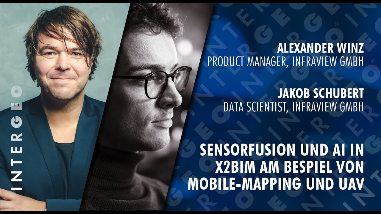
Sensorfusion and AI in X2BIM with Jakob Schubert und Alexander Winz
Автор: INTERGEO TV
Загружено: 2025-12-17
Просмотров: 86
Sensor Fusion & AI for Rail Infrastructure: From Mobile Mapping to BIM | infraView (Jakob Schubert & Alexander Winz)
In this presentation, Alexander Winz (Product Manager) and Jakob Schubert (Data Scientist) from infraView GmbH showcase how the X to BIM platform fuses diverse sensor datasets - Mobile Mapping, UAV imagery, terrestrial laser scanning, radar, GIS layers and BIM/CAD models—into one browser-based environment.
Based on thousands of kilometers of surveyed railway infrastructure, they demonstrate how sensor fusion, georeferencing, automatic object detection and AI-driven point cloud analysis enable more precise planning, monitoring and documentation of large-scale infrastructure projects.
A major focus lies on the AI pipeline for point clouds: from rail head detection and clearance analysis to vegetation classification and fully GDPR-compliant anonymization of people and vehicles in 3D data. The result: massive raw geodata becomes an actionable digital twin for planning, construction, operations and maintenance.
🛰️ About the Speakers
Alexander Winz – Product Manager, infraView GmbH
Alexander drives the development of the X to BIM platform, combining railway infrastructure expertise with modern geospatial workflows. He focuses on browser-native solutions that integrate Mobile Mapping, drones, TLS, radar and BIM/CAD data into a unified system accessible to all project stakeholders.
Jakob Schubert – Data Scientist, infraView GmbH
Jakob builds AI models and scalable data pipelines for automated analysis of large infrastructure datasets. His work includes point cloud classification, object detection, clearance and collision analysis, and fully GDPR-compliant anonymization workflows for 3D laser scan data.
🎯 Top 7 Key Topics
✔️ X to BIM platform: Browser-based fusion of Mobile Mapping, UAV, TLS, radar, GIS & BIM/CAD
✔️ Unified georeferencing of track data, chainage, point clouds, orthophotos & video feeds
✔️ Rail head detection, clearance analysis & oversize transport evaluation
✔️ AI-powered point cloud classification (vegetation, noise barriers, fences, vehicles, etc.)
✔️ GDPR-compliant anonymization for people & vehicles in 3D laser scans
✔️ BIM/CAD vs. reality checks for construction progress & issue detection
✔️ Scalable workflows for thousands of kilometers of rail network & hundreds of terabytes of data
📍 Recorded at INTERGEO 2025 in Frankfurt
👉 Next stop: INTERGEO 2026 – Munich (September 15–17)!
About INTERGEO:
📌 INTERGEO EXPO and CONFERENCE is the international platform for geodesy, geoinformation, and land management. It takes place at changing locations throughout Germany. The CONFERENCE addresses current topics from politics, administration, science, and industry. With its geo-IT potential, INTERGEO continues to focus on optimizing processes in growing target markets. It was held in Frankfurt am Main in 2025. In 2026, it will be hosted in Munich, and from 2027 onwards it will be held permanently in Frankfurt am Main. The organizer of INTERGEO is DVW e.V. – Society for Geodesy, Geoinformation and Land Management.
👉 More information about INTERGEO: https://dvw.de/intergeo/en
📲 Follow us on LinkedIn, Instagram & more for the latest news and highlights!
🔗 LinkedIn: / intergeo
📸 Instagram: / intergeo.de
📘 Facebook: / intergeo.de
▶️ YouTube: / @intergeo
🎥 This video is part of our official INTERGEO media library. Subscribe to the channel so you don’t miss any exciting content!
© INTERGEO / HINTE Marketing & Media. All rights reserved. Unauthorized use, reproduction, or distribution of this material – in whole or in part – is not permitted without prior written consent.
Доступные форматы для скачивания:
Скачать видео mp4
-
Информация по загрузке:


![[2026] Feeling Good Mix - English Deep House, Vocal House, Nu Disco | Emotional / Intimate Mood](https://imager.clipsaver.ru/cxLdtvzf2sI/max.jpg)