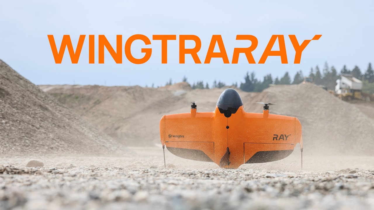
WingtraRAY - The drone made for surveyors
Автор: Wingtra
Загружено: 2025-07-10
Просмотров: 33817
Meet WingtraRAY—your all-in-one solution for compliant and cost-effective aerial surveying.
Whether you're flying over busy city streets or remote job sites, WingtraRAY is built to get it right the first time. Its modular design lets you tackle everything from millimeter-level detail to large-area mapping—so you can take on more jobs with one powerful tool.
✅ Peace of mind in every environment
✅ Faster, more cost-effective data delivery
✅ One tool for all your surveying projects
Find out more about
WingtraRAY: http://wingtra.com/ray
WingtraGROUND: https://wingtra.com/ground/
WingtraCLOUD: https://wingtra.com/wingtracloud/
0:00 - The drone made for surveyors
0:33 - Coverage and efficiency
0:58 - Safety features
1:15 - Compliance and permission
1:46 - Certifications
1:59 - Sensor options
2:17 - Use cases
2:47 - Wingtra's end-to-end surveying
Доступные форматы для скачивания:
Скачать видео mp4
-
Информация по загрузке:


