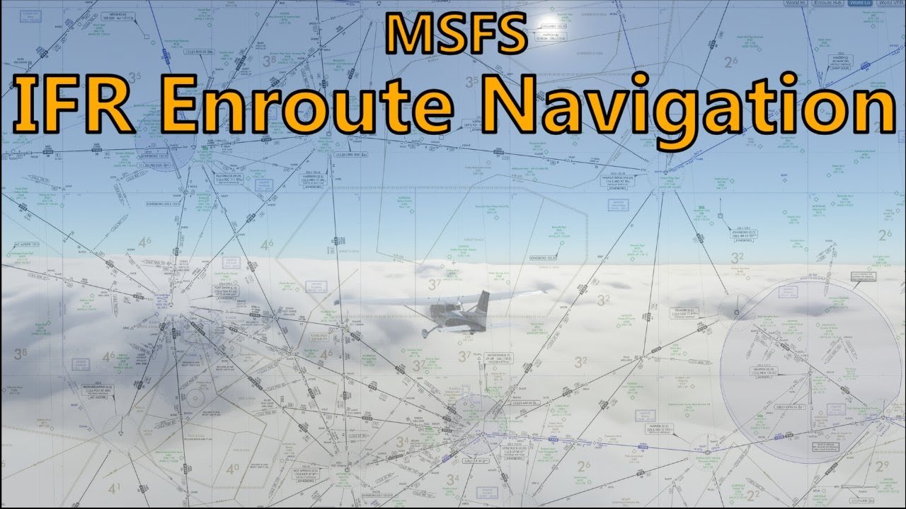
IFR Enroute Navigation (AH instrument training - Ground lesson #1)
Автор: Alpha Hotel Flight Simulator Training
Загружено: 2022-11-18
Просмотров: 7220
Welcome back to Alpha Hotel Flight Simulator Training.
In this video, we'll learn about navigating enroute under IFR. Many of the methods of electronic navigation you learned to use in VFR flying are what you use for IFR navigation - but you need to be more precise, have a good fix on your position, and be aware of the minimum altitudes along your route.
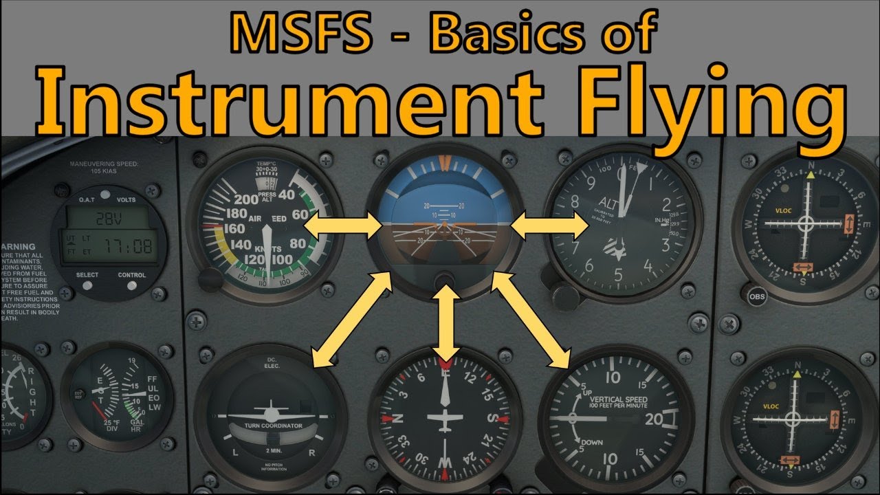
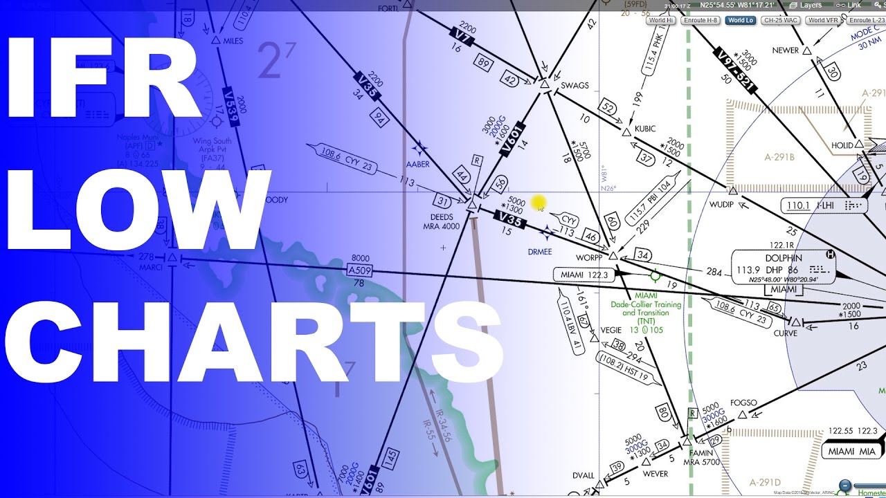
Most of this lesson focuses on how to read IFR enroute charts - which give you more information to accurately determine your position, and be aware of your minimum IFR altitude.
LINKS:
If you need to learn or get a refresher on VOR navigation, watch this video: • MSFS 2020 - VOR navigation (AH VFR/Private...
For using Distance Measuring Equipment (DME,) watch this video: • Using DME in MSFS. (Alpha Hotel Flight Si...
For using NDB's/ADF's, watch this video: • MSFS - NDB/ADF/Bearing pointer navigation.
To learn or get a refresher on GPS navigation, you can watch the series on the G1000: • Garmin G1000 training
or the Series on the GNS530/430: • Garmin GNS 530/430
All charts used in this video are available at SkyVector.com
Chapters:
00:00 - Intro
02:44 -chart types & coverage
04:38 - Using Skyvector
09:56 - IFR Low chart overview
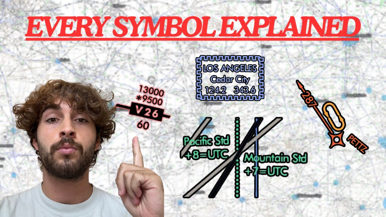
11:31 - Navaids
13:14 - Airports
17:19 - Airspace
20:17 - Airway basics
22:11 - VOR/Victor airways
22:40 - Fixes
30:25 - Changeover points
32:27 - GPS/Tango airways
33:26 - IFR altitudes
44:46 - High charts
46:42 - Green jet?
Доступные форматы для скачивания:
Скачать видео mp4
-
Информация по загрузке: