Soil Type Classification Using SWAT Data in ArcGIS in (2025)
Автор: mosaic spatial solutions
Загружено: 2025-05-09
Просмотров: 461
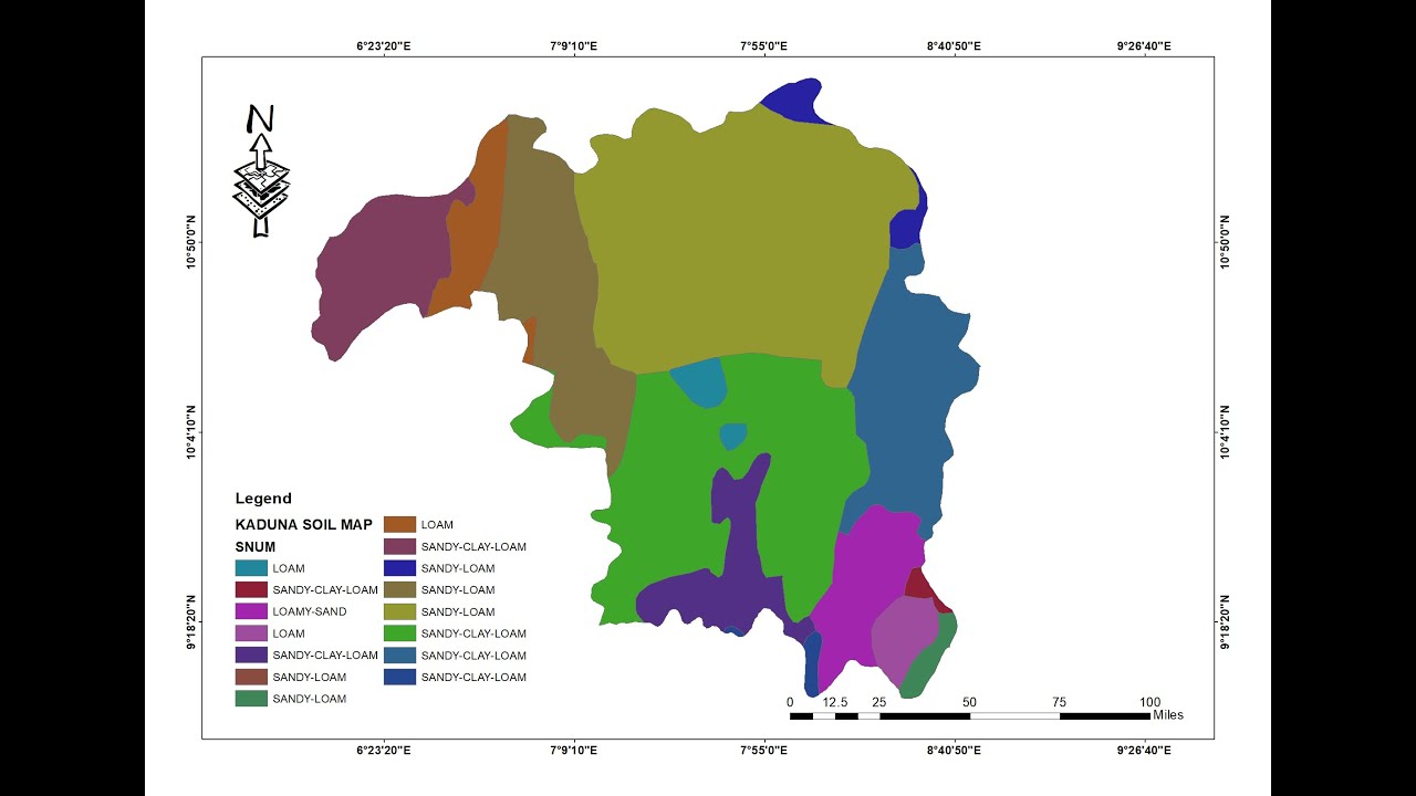
This tutorial focuses on classifying soil types by integrating Soil and Water Assessment Tool (SWAT) data into ArcGIS for spatial analysis. By leveraging the Hydrologic Response Unit (HRU) data from SWAT and geospatial tools in ArcGIS, users can accurately map, classify, and analyze soil distributions across landscapes. This method enhances land use planning, agricultural zoning, and environmental impact assessments.
Importance:
Soil type classification is crucial for sustainable land management, precision agriculture, and hydrological modeling. Integrating SWAT data with GIS ensures data-driven decisions in watershed management, erosion control, and crop suitability analysis.
#GIS #ArcGIS #SWAT #SoilClassification #GeospatialAnalysis #Hydrology #LandUsePlanning #RemoteSensing #EnvironmentalScience #WatershedManagement
Доступные форматы для скачивания:
Скачать видео mp4
-
Информация по загрузке: