Скачать
Techniques for Mapping Trails in OpenStreetMap
Автор: Mike's OpenStreetMap Channel
Загружено: 2022-11-03
Просмотров: 465
Описание:
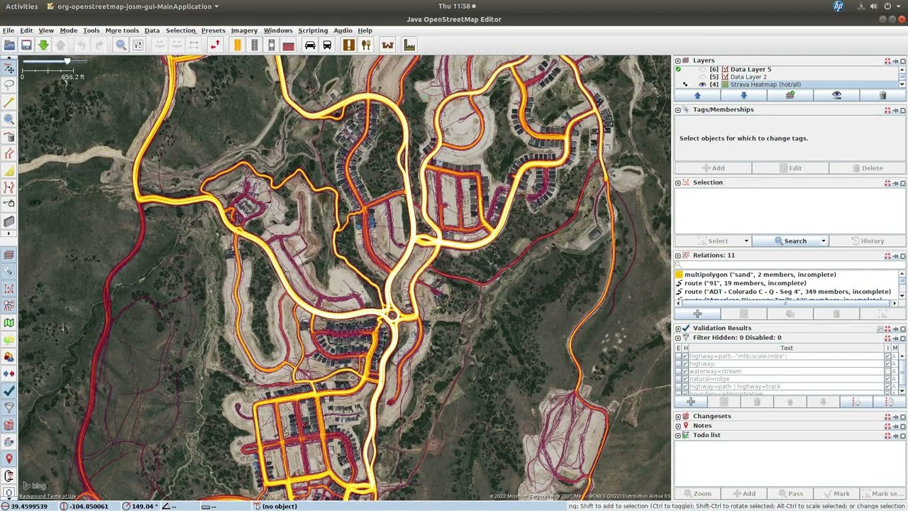
In this video you are going to learn about using the Strava Global Heatmap and the USGS 3D Elevation Program data for mapping trails in OpenStreetMap (OSM)
Доступные форматы для скачивания:
Скачать видео mp4
-
Информация по загрузке: