Скачать
Using QGIS to Segment Orthomosaics and Extract Drone Data
Автор: Dave MacTaggart
Загружено: 2021-09-09
Просмотров: 5753
Описание:
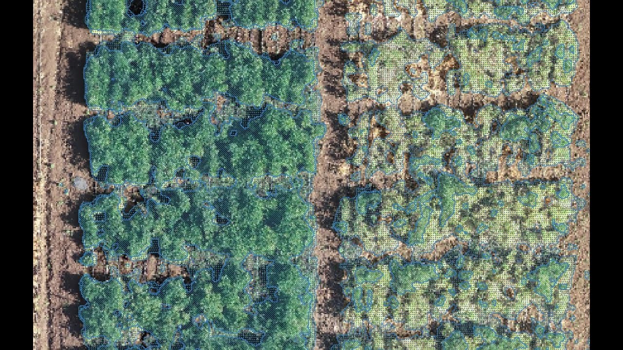
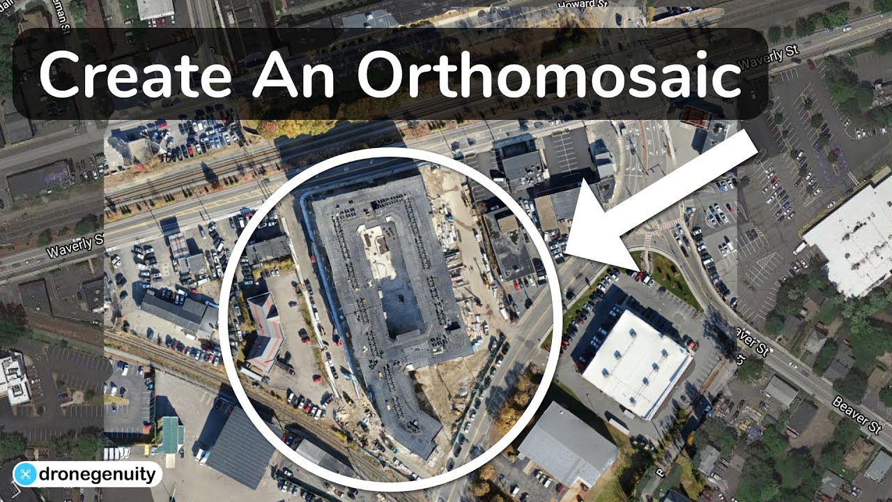
In this video we use QGIS to segment an orthomosaic collected by drone imaging, create a vegetative index layer, and extract data as numeric values. Specific times described below
-1:20 Creating a project in QGIS
-1:45 Uploading orthomosaics into QGIS
-3:10 Creating a false RGB layer
-6:20 Segmenting the orthomosaic to outline your plots
-9:10 Extracting reflectance data from a layer
-11:15 Developing a vegetative index layer
-14:15 Choosing a threshold for the vegetative index to use as a soil mask
-17:45 Creating the thresholded layer for the vegetative index
-22:46 Extracting a green area estimate from the thresholded vegetative index layer

Доступные форматы для скачивания:
Скачать видео mp4
-
Информация по загрузке: