The Strangest State Borders in the United States — And Why They Exist
Автор: GeoSnack
Загружено: 2026-01-24
Просмотров: 2
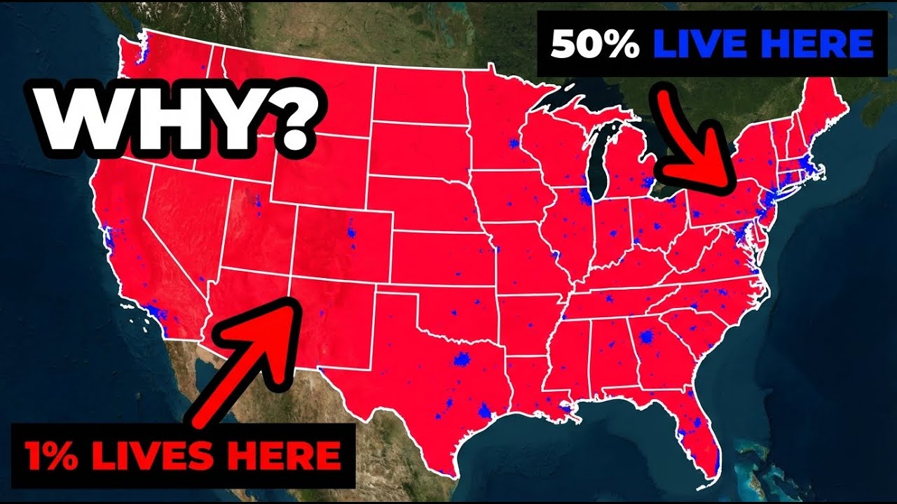
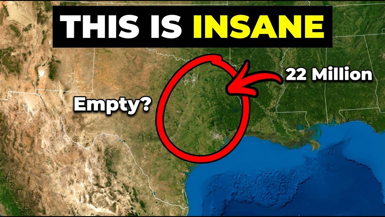
At first glance, the map of the United States looks clean and logical. Straight lines, neat shapes, clearly defined borders. But look closer and the illusion falls apart. Entire towns split between two states, lakes trapped on the “wrong” side of a border, panhandles that shouldn’t exist, and boundaries drawn by mistakes that were never corrected. These lines didn’t come from geography — they came from politics, ambition, and human error.
This video explores the strangest state borders in America and the forgotten stories behind them. From surveying blunders and outdated maps to political compromises, slavery-era negotiations, and rivers that quietly changed course while borders stayed frozen in time. Some of these borders reshaped local identities, confused law enforcement, and left communities living under rules written hundreds of miles away by people who never saw the land. Once you understand how these borders were created, the American map will never look normal again. 🇺🇸✨

Доступные форматы для скачивания:
Скачать видео mp4
-
Информация по загрузке:


![New York City 1880: The Lost World of the Gilded Age [AI Reconstruction]](https://imager.clipsaver.ru/tQEYSQq9zTc/max.jpg)