Скачать
GIS Conflation Mini Demo
Автор: Neara
Загружено: 2026-01-15
Просмотров: 11
Описание:
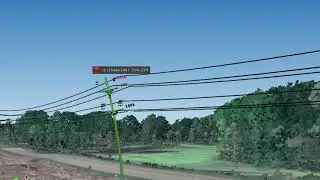
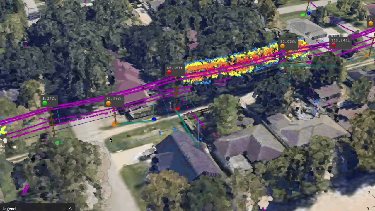
GIS is essential, but often unreliable. Poles go missing, spans don’t line up, and equipment data is incomplete. The consequences? Wasted truck rolls in day-to-day operations, and stalled restoration efforts when crews can’t trust their maps during storms. Neara corrects GIS inaccuracy by reconciling it with LiDAR and engineering data to give you a complete, ground-truth model of your network.
Доступные форматы для скачивания:
Скачать видео mp4
-
Информация по загрузке: