Скачать
QGIS Flood Risk Mapping Walkthrough
Автор: GIS UniversityofWorcester
Загружено: 2016-07-25
Просмотров: 84842
Описание:
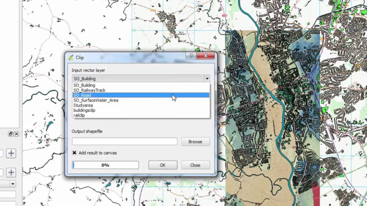
This video gives an introduction to QGIS and shows how to do some basic flood risk mapping using free Environment Agency and OS data. The guide to the practical is available along with other practical exercises at https://uwgis.wordpress.com/
Доступные форматы для скачивания:
Скачать видео mp4
-
Информация по загрузке:


