How to Perform Spatial Join Using Raster and Polygon in ArcGIS Pro | Advanced GIS Integration
Автор: GeoMicrosphere
Загружено: 2026-01-05
Просмотров: 56
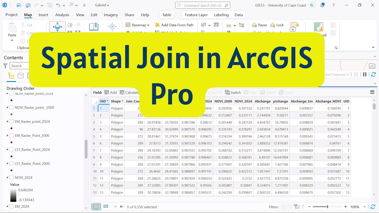
This video provides a step-by-step demonstration of how to perform a Spatial Join in ArcGIS Pro to integrate attributes between spatial datasets based on their geographic relationships.
You will learn how to join point, line, and polygon features using spatial relationships such as intersects, within, contains, and nearest, and how to interpret the resulting attribute tables for spatial analysis and decision-making.
This tutorial is ideal for GIS students, researchers, urban planners, and environmental analysts who need to combine spatial datasets for advanced GIS analysis, mapping, and research applications.
Topics covered include:
Concept of Spatial Join in GIS
Point-to-polygon and polygon-to-polygon joins
Choosing appropriate spatial relationships
Handling one-to-one vs one-to-many joins
Common errors and best practices
Practical applications in urban and environmental studies
Доступные форматы для скачивания:
Скачать видео mp4
-
Информация по загрузке: