Скачать
Aerial Survey How to Establish Site GCPs
Автор: Cho Cire
Загружено: 2018-10-10
Просмотров: 9119
Описание:
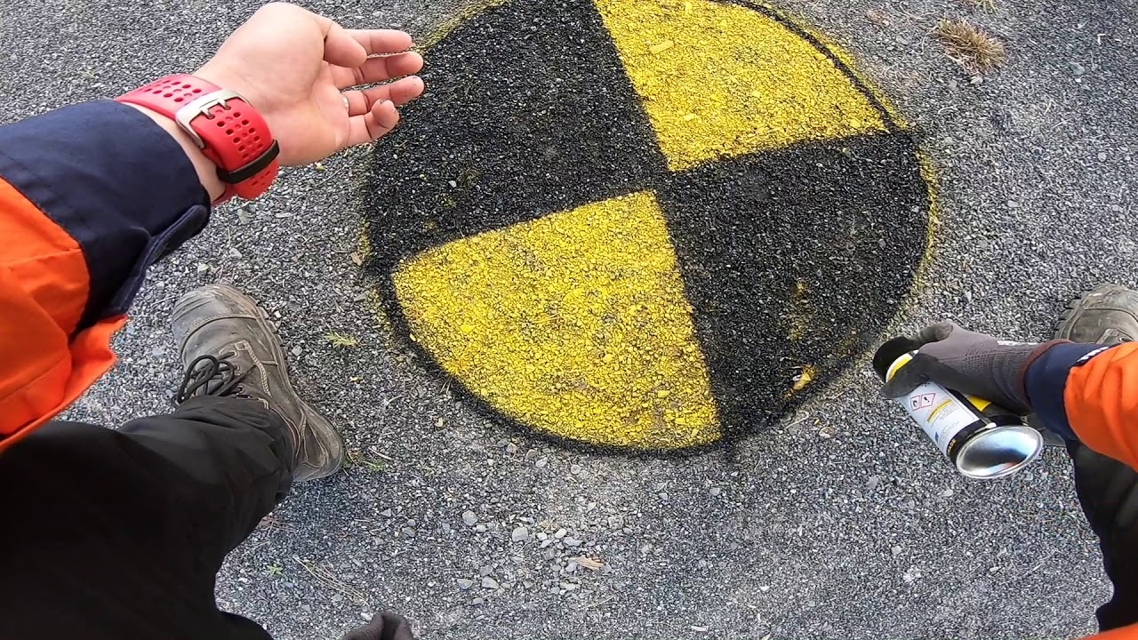
Establishing survey grade Ground Control Points for aerial/drone survey. This procedure is mainly designed for DJI Phantom 4 Pro with GPS accuracy less than 10meters.
In the upcoming videos, the collected drone photos will be "stitched" together in the photogrammetry software Agisoft Photoscan and will showcase another drone with PPK capability.
Доступные форматы для скачивания:
Скачать видео mp4
-
Информация по загрузке: