Скачать
Organize and analyze OpenStreetMap data using PostGIS and QGIS – Sean Whitcomb
Автор: OpenStreetMap US
Загружено: 2025-02-05
Просмотров: 302
Описание:
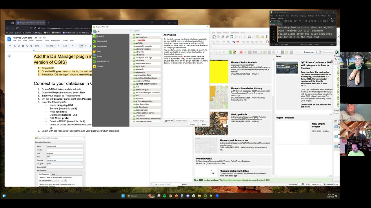
OpenStreetMap isn't just a map - it's a massive database of geographic information. Learn how to organize, analyze, and visualize OSM data using PostGIS and QGIS software. If participating, please try to install QGIS and PostgreSQL with the PostGIS extension before the workshop begins. https://docs.google.com/document/d/1h...
–––
This sessions was recorded live at Mapping USA 2025, a virtual conference hosted by OpenStreetMap US. For more information about this and future events, visit https://openstreetmap.us/events
Доступные форматы для скачивания:
Скачать видео mp4
-
Информация по загрузке: