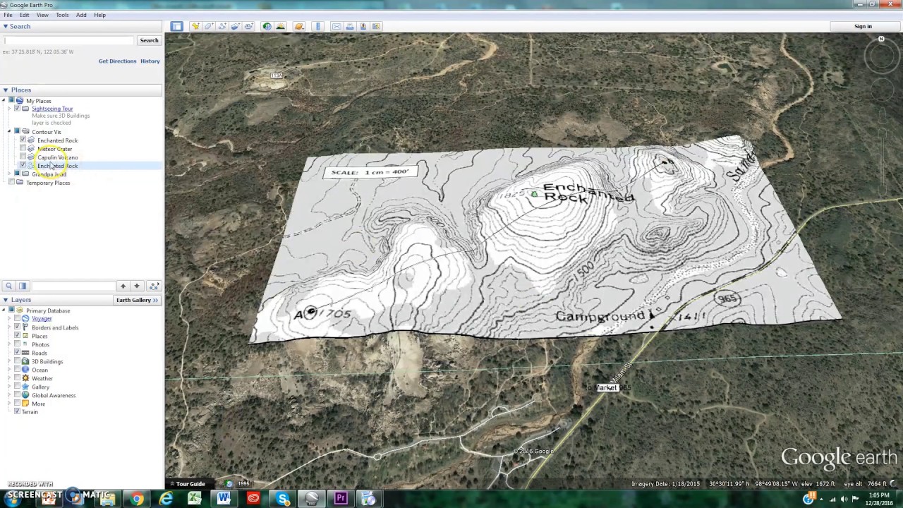
Export the elevation profile from Google Earth to ecxel by an approximate method
Автор: mahmoud shaaban
Загружено: 2017-03-09
Просмотров: 77634
At this video " i have added the translation at the video (English) just press the button besides the option button" , i 'll show an approximate method to export the elevations of profile of path at google earth to excel at specified stations and even if you want to draw it with particular scale with specified stations .
I have used a macro Which i have made myself ,
for the link for downloading the macro , i have provided a download link blew but it is a trial version "FREE" ( which you can run it for ten times only ) and if you want a complete "paid" version with unlimited times of run , just send an email
to the provided email blew
download link : https://www.mediafire.com/file/jbif8g...
MY Email :
mahmoudshaaban9393@yahoo.com
if you have any question you can leave a comment or just send an Email to :
mahmoudshaaban9393@Yahoo.com
If you want to know more about macros u can see the next playlist where i make a learning tutorials for Autocad VBA :
• Autocad Vba programming Tutorials (English)
link for download the different versions of Autocad VBA from autodesk for free :
https://knowledge.autodesk.com/suppor...
OR you can download the suitable version from the link which will appear after typing "VBAIDE" command at Autocad (If it wasn't installed on your Autocad version)
for more examples for macros i have made , you can watch :
• Bentley watergems , hammer (how to draw a ...
• Autocad vba animation

Доступные форматы для скачивания:
Скачать видео mp4
-
Информация по загрузке: