Скачать
Drone survey & stockpile volume measurements using points clouds
Автор: LEARNING CIVIL 3D
Загружено: 2023-05-25
Просмотров: 796
Описание:
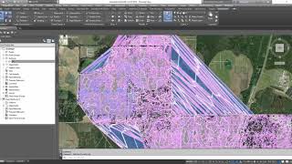
in this video we learn how to :
process drone image to generate point cloud using PIX4D
Select desire region for a stockpile using RECAP software
Import point cloud to civil 3d
create surface from point cloud in civil 3d
calculate stockpile volume in civil 3d
#pix4d #recap #civil3d #autodesk #autocad #drone #landsurveyor #roaddesign #

Доступные форматы для скачивания:
Скачать видео mp4
-
Информация по загрузке: