Скачать
Processing RTK drone data in Metashape for 3d modelling, Geology and Geotechnical wall mapping.
Автор: Survey Tech
Загружено: 2022-06-20
Просмотров: 4772
Описание:
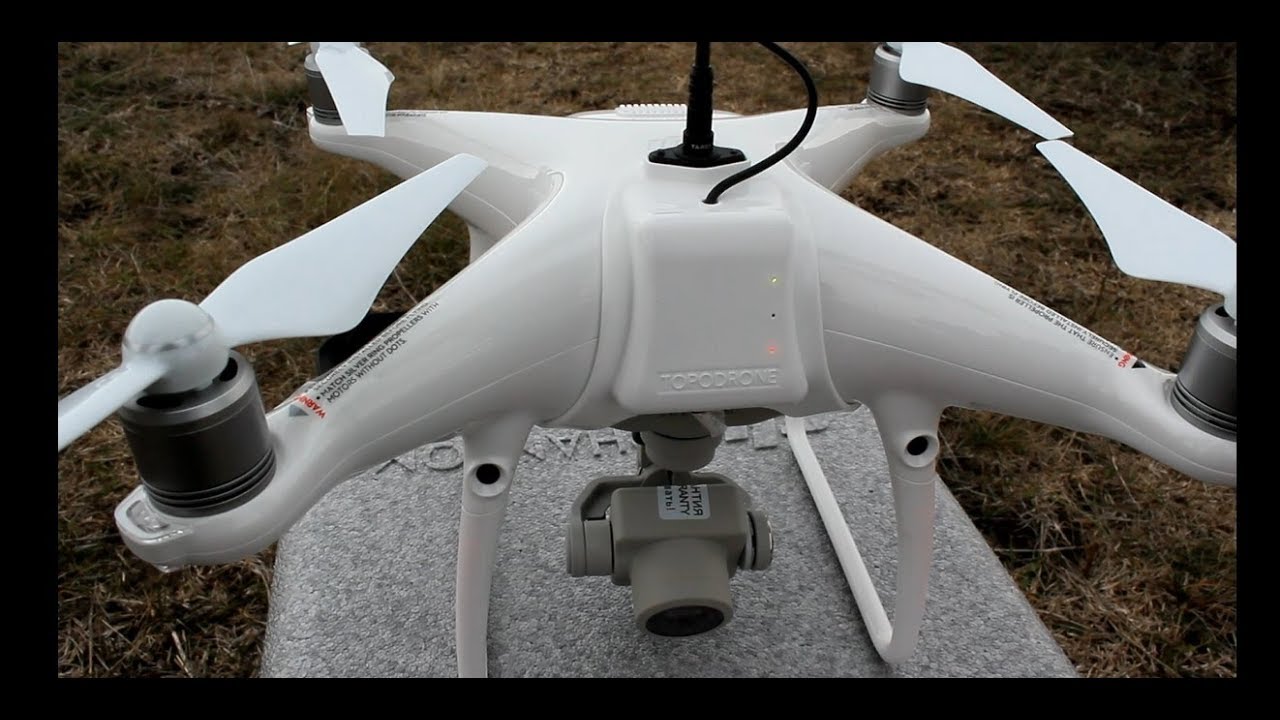
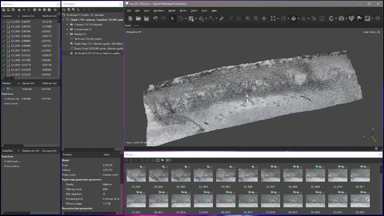
Processing flight from DJI Phantom4 RTK and one (1) Ground Control Point (GCP)
In Agisoft Metashape (Photoscan)
Open Cut gold mine wall. Quick flight and process for wall mapping with UAV.
Доступные форматы для скачивания:
Скачать видео mp4
-
Информация по загрузке: