SLAM200 Handheld LiDAR: Redefining 3D Mapping with Unmatched Precision & Real-Time Point Clouds
Автор: Foxtech
Загружено: 2024-12-26
Просмотров: 1944
Discover more: https://www.foxtechrobotics.com/slam2...
---------------------------------------------------------------------------------------------------------
00:00 Introduction
00:43 What is SLAM200?
01:11 Product Features
01:43 Measurement Range
02:17 Application Scenario
02:55 Colored 3D Point Cloud
03:21 Multi-Platform Supported
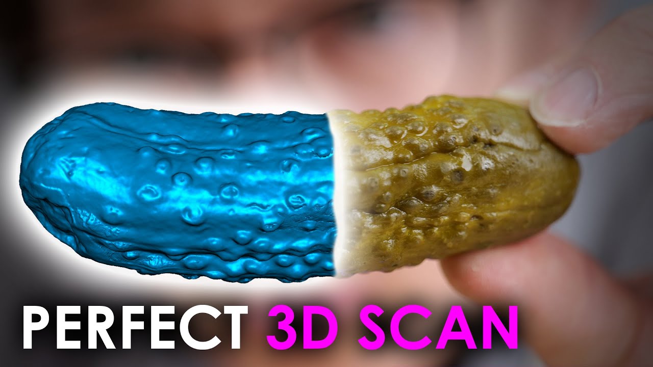
The SLAM200 handheld LiDAR scanner is setting new standards in spatial data acquisition, offering precision and versatility for industries that require detailed 3D mapping. Whether you're working in complex urban environments, tunnels, or deep underground spaces, the SLAM200 delivers exceptional accuracy and detail like never before.
With its cutting-edge 640,000 points-per-second laser sensor and our advanced SLAM algorithm, the SLAM200 captures intricate scene details with remarkable clarity. From densely built structures to wide open areas, this device redefines mobile 3D scanning.
The SLAM200 is designed for real-time mapping with high-precision, colorized 3D point clouds that help streamline workflows and improve visualization. Whether you're using it on-site or in the field, this multi-platform device adapts to diverse applications, making it a cost-effective, flexible solution for every project. #LiDAR #SLAM200 #3DMapping #SpatialData #HandheldLiDAR #GeospatialTech #DroneMapping #PointCloud #RealTimeMapping #TechInnovation
-----------------------------------------------------------------------------------------
Follow us:
Facebook: / foxtechhobby
YouTube: / foxtechhobby
TikTok: / foxtechuav
Instagram: / foxtech_drone
LinkedIn: / foxtechaero
Twitter: / foxtechhobby

Доступные форматы для скачивания:
Скачать видео mp4
-
Информация по загрузке: