Visualizing and Analyzing Elevation Data: From Google Earth Pro to Contour Maps
Автор: Geomatics Planet
Загружено: 2024-12-07
Просмотров: 274
Unlock the full potential of elevation data with this comprehensive tutorial. In this video, you will learn how to:
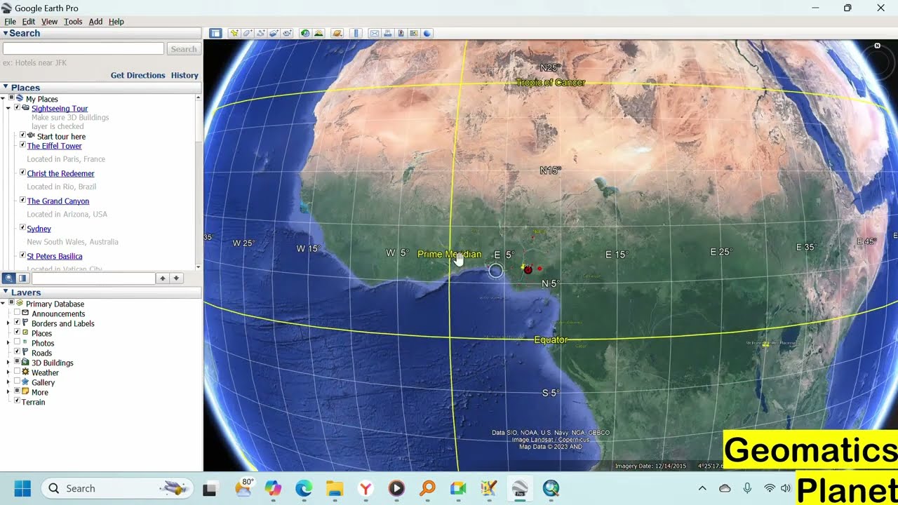
1. Visualize elevation directly in Google Earth Pro.
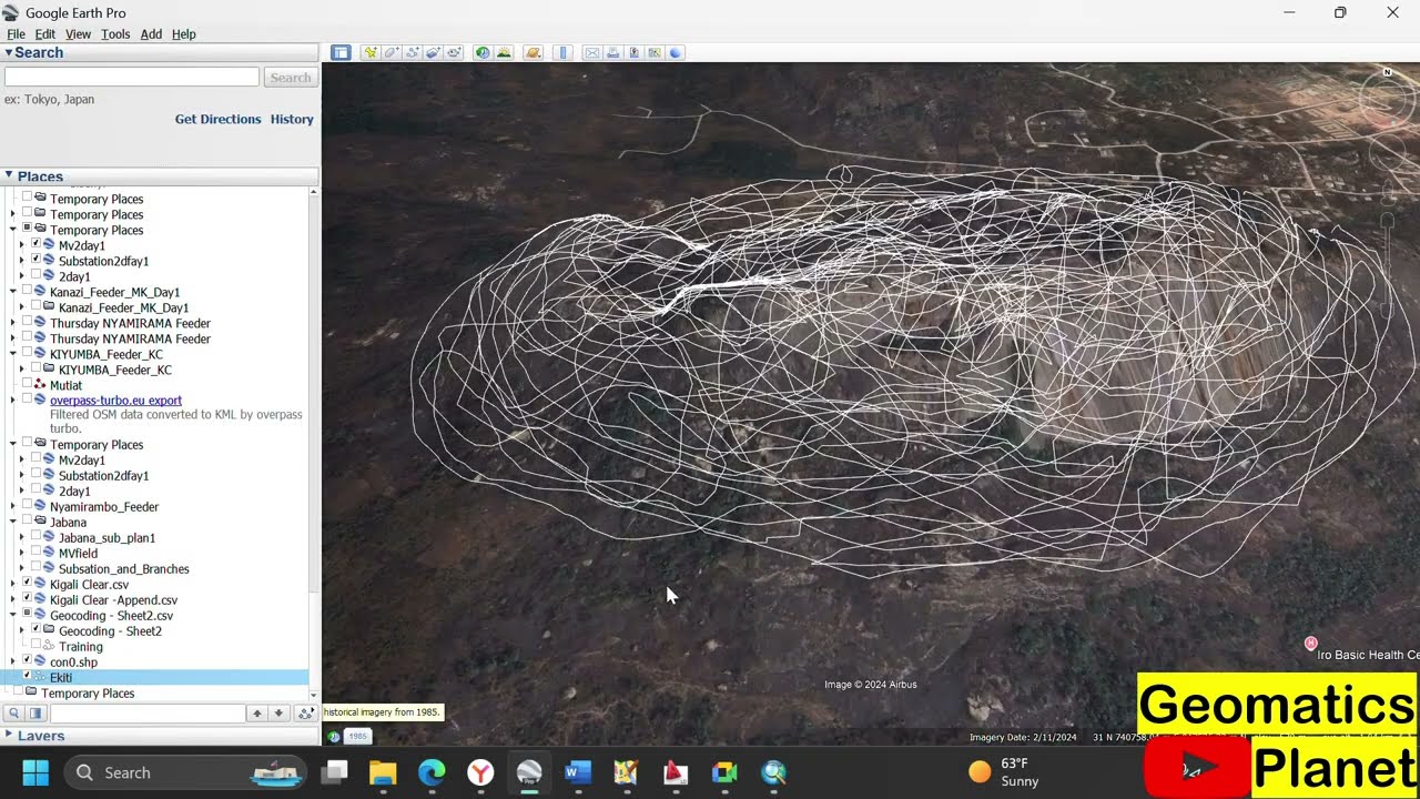
2. Create and add paths to Google Earth Pro for specific area analysis.
3. Use GPS Visualizer to extract elevation data and export it as a GPX file.
4. Convert the GPX file to a shapefile in ArcMap for further GIS analysis.
5. Perform interpolation using the IDW (Inverse Distance Weighting) method to create a smooth elevation surface.
6. Generate and refine contour maps for precise terrain visualization.
This step-by-step guide bridges Google Earth Pro and GIS platforms like ArcMap to transform raw elevation data into actionable insights. Perfect for environmental studies, urban planning, and GIS enthusiasts.
GPS Visualizer Link: https://www.gpsvisualizer.com/elevation
Доступные форматы для скачивания:
Скачать видео mp4
-
Информация по загрузке: