You’ll Never Look at Trees the Same Way After He Shows How They Reveal Hidden Gold
Автор: Part Time Prospector
Загружено: 2025-07-08
Просмотров: 27212
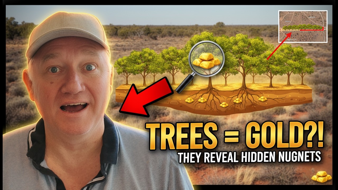
Discover how the landscape is hiding gold — and how vegetation can tell you where to look. Join Bruce, the Part-Time Prospector, as he walks you through a photo from north of Coolgardie (near Kalgoorlie, WA) and reveals how spinifex, saltbush and lines of trees can point to faults, shear zones, groundwater and supergene gold enrichment. This is practical, field-tested prospecting advice you can use the next time you’re out in the Goldfields or scanning satellite images.
What you’ll learn in this video:
How to “read” vegetation (spinifex, saltbush, gums) to infer changes in soil and rock
Why narrow lines of bigger trees often mark fault/shear zones and deeper soil/aquifers
The link between iron-rich saprolite, ultra-mafic rocks, quartz veins and gold
What supergene enrichment is and why it can create exceptionally rich, shallow gold zones
How surface weathering and groundwater chemistry can mobilize and re-deposit gold
Practical tips: what to look for on Google Maps, satellite imagery and when walking the ground
Why this matters:
If you want to find gold nuggets, good outcrop, or target areas for metal detecting or sampling — learning to read the bush can save you hours of blind searching. Bruce shows simple visual clues that point to subsurface geology: faults, shear zones, transported cover, regolith profiles (iron cap / pale zone / saprolite) and potential quartz reef locations. Whether you’re a beginner prospector or an experienced detectorist, this video gives field-hardened insight into how vegetation and terrain mask the geology that controls gold.
Watch now to stop missing obvious targets and start seeing the bush like a prospector.
If you found this helpful, please hit LIKE, SUBSCRIBE and ring the bell for more gold prospecting and mining geology tips from Bruce, the Part-Time Prospector.
Terms people use to find use
gold prospecting, gold prospecting tips, gold prospecting WA, kalgoorlie goldfields, coolgardie gold, bush prospecting, how to find gold, gold nugget hunting, metal detecting for gold, metal detecting WA, gold detecting, nugget hunting, gold fields, gold mapping, reading vegetation for gold, spinifex gold indicator, saltbush gold indicator, vegetation mapping gold, regolith exploration, supergene enrichment, shear zone gold, fault zone prospecting, quartz vein gold, saprolite gold, pale zone, iron cap, ultramafic gold, greenstone belt prospecting, BIF gold, prospecting geology, how to read the bush for gold, field geology for prospectors, satellite imagery for gold, google maps prospecting, outcrop identification, transported cover, groundwater gold, water table and gold, leached gold, gold mobilization, secondary enrichment gold, prospecting Coolgardie, prospecting Kalgoorlie, Western Australia prospecting, WA goldfields tips, beginner prospecting guide, advanced prospecting techniques, where to find gold in WA, nugget formation theories, gold weathering, prospecting lines of trees, identifying fault lines, how to spot quartz on surface, gold pan, gold panning tips, where to use a metal detector, detectorist tips, detecting in the Goldfields
Want more videos? Subscribe for weekly prospecting tips, geology breakdowns, and real-world field examples from the Australian Goldfields.
00:00 Introduction and Overview
00:41 Analyzing the Photo
02:07 Understanding Vegetation and Soil Types
04:38 Geological Implications of Vegetation Patterns
06:49 Cross-Section Analysis
10:54 Supergene Enrichment and Gold Formation
18:52 Practical Applications and Conclusion
Доступные форматы для скачивания:
Скачать видео mp4
-
Информация по загрузке: