The Nile River - Exploring Entire Length from North Africa to the Highlands
Автор: Weekly Report Films
Загружено: 2025-12-02
Просмотров: 56
Exploring the full length of the Nile River with Google Earth follows one of the world’s great waterways from its broad delta on the Mediterranean coast deep into the heart of Africa.
The flight begins over the fan-shaped Nile Delta, a dense patchwork of cities, farmland, canals, and ancient settlement grids.
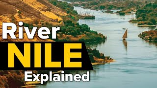
From here the river narrows into the Nile Valley, cutting a green corridor through the Sahara as it flows past Cairo, Giza, Memphis, Beni Suef, Minya, Asyut, Luxor, and Aswan.
From Aswan the flyover traces Lake Nasser and the High Dam basin before entering Sudan, where the river curves through Wadi Halfa, Dongola, and Khartoum.
Here the White Nile and Blue Nile meet, a major hydrologic junction shaped by seasonal rainfall cycles, monsoon-fed basins, and the Sudd wetlands.
The journey continues south along the White Nile through vast swamps, floodplains, and remote savanna until the landscape rises into greener highlands.
The final ascent reaches the lake-fed headwaters near Lake Victoria and the mountainous source regions of the Nile system, where rivers drop through deep valleys, volcanic uplands, and steep green escarpments that fuel the continent’s longest river.
👉 Subscribe for new videos:
/ @weeklyreport-z7z

Доступные форматы для скачивания:
Скачать видео mp4
-
Информация по загрузке: