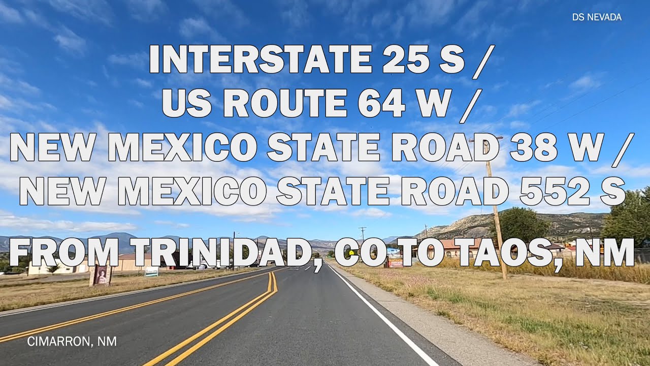
Interstate 25 S/US Route 64 W/New Mexico State Road 38 W & 522 S From Trinidad, CO To Taos, NM
Автор: DS NEVADA
Загружено: 2021-04-22
Просмотров: 1098
Artist : Ennio Mano
Music : A Stones Throw
Released : 2020
Artist : Ennio Mano
Music : Ages Ago
Released : Unknown
Artist :Vendla
Music : Leblon
Released : 2020
Interstate 25 (I-25) is a major Interstate Highway in the western United States. It is primarily a north–south highway, serving as the main route through New Mexico, Colorado, and Wyoming. I-25 stretches from Interstate 10 at Las Cruces, New Mexico (approximately 25 miles (40 km) north of El Paso, Texas), to Interstate 90 in Buffalo, Wyoming (approximately 60 miles (97 km) south of the Montana–Wyoming border).[2] It passes through or near Albuquerque, New Mexico; Colorado Springs, Colorado; Denver, Colorado; and Cheyenne, Wyoming. The I-25 corridor is mainly rural, especially in Wyoming, excluding the Albuquerque, Pueblo, Colorado Springs, and Denver metropolitan areas.
The part of I-25 in Colorado passes just east of the Front Range of the Rocky Mountains. That stretch was involved in a large-scale renovation named the Transportation Expansion Project[3] (TRansportation EXpansion) in Denver, and the COSMIX[4] (Colorado Springs Metropolitan Interstate Expansion). These projects and others in New Mexico were necessary because these stretches of I-25 were originally inadequately designed and constructed (the pavement was deteriorating rapidly), and also because urban areas like Albuquerque, Colorado Springs, and Denver had tripled and quadrupled in population much earlier than anyone had anticipated back in the 1950s and 1960s. Major highway work for the T-REX project ended on August 22, 2006. The COSMIX project was completed in December 2007. Several other smaller improvement projects for I-25 are still ongoing within New Mexico and Colorado.
https://en.wikipedia.org/wiki/Interst...
U.S. Route 64 (US 64) is an east–west United States highway that runs for 2,326 miles (3,743 km) from Nags Head in eastern North Carolina to just southwest of the Four Corners in northeast Arizona. The western terminus is at U.S. Route 160 in Teec Nos Pos, Arizona. The highway's eastern terminus is at NC 12 and U.S. Route 158 at Whalebone Junction, North Carolina.
https://en.wikipedia.org/wiki/U.S._Ro...
State Road 38 (NM 38) is a state highway in the US state of New Mexico. Its total length is approximately 29.3 miles (47.2 km). NM 38's western terminus is at NM 522 in Questa, and the eastern terminus is at US 64 in Eagle Nest.
https://en.wikipedia.org/wiki/New_Mex...
State Road 522 (NM 522) is a 41.096-mile-long (66.138 km) state highway in far northern New Mexico. NM 522's southern terminus is at U.S. Route 64 (US 64) and NM 150 approximately four miles north of Taos. From there, NM 522 heads north through Arroyo Hondo then Questa where it has a junction with NM 38. From there it continues north to Costilla before its northern terminus at the Colorado state line where the road becomes Colorado State Highway 159 (SH 159).
https://en.wikipedia.org/wiki/New_Mex...
Доступные форматы для скачивания:
Скачать видео mp4
-
Информация по загрузке: