3D Survey 3.0.1: A Complete Guide for drone image processing with Ground Control Points!
Автор: Nexxis Tutorials
Загружено: 2024-11-07
Просмотров: 1931
Unlock the full potential of drone mapping with this complete guide on processing images in 3D Survey using Ground Control Points (GCPs)!
Whether you’re a professional surveyor or a drone enthusiast, this video covers everything you need to know to achieve high-accuracy results.
By combining drone imagery with GCPs, 3D Survey software allows you to create precise, georeferenced 3D models perfect for surveying, construction, and environmental analysis. 🚁📍✨
In this video, we’ll explore:
Setting up Ground Control Points (GCPs) for accurate georeferencing
Capturing drone images with ideal overlap for 3D modeling
Importing and processing images in 3D Survey software
Integrating GCPs to anchor your model to real-world coordinates
Generating and exporting 3D models for GIS and CAD applications
Follow along to see how easy it is to improve your drone mapping accuracy with GCPs in 3D Survey. Ready to take your drone surveying to the next level?
Hit play, and don’t forget to subscribe for more tutorials on drone mapping, surveying software, and GIS techniques! 🎥💻
Drone Image Files: https://drive.google.com/file/d/1XT4G...
Ground Control File: https://drive.google.com/file/d/1IhO8...
00:00 Introduction
00:40 Launcing, Displaying & Loading Drone Images
01:57 Bundle Adjustment
03:10 Orientate
05:43 3D Reconstruction
06:13 Mesh
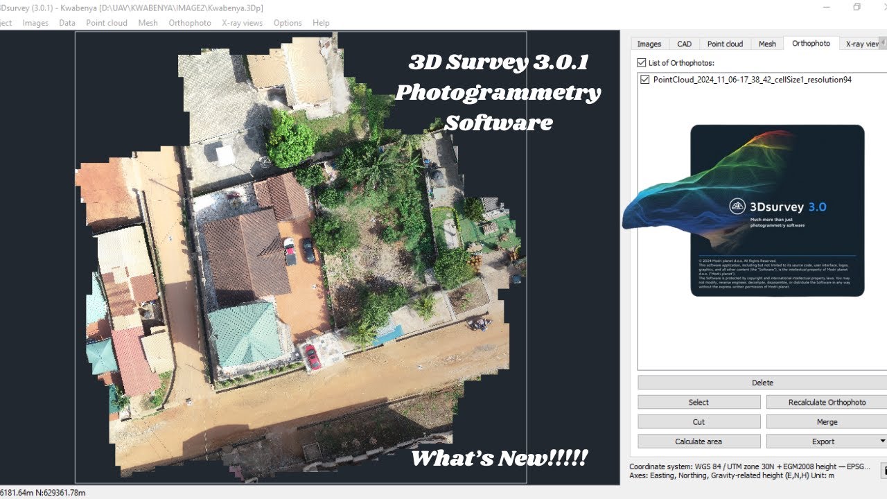
06:23 Orthophoto
06:52 Conclusion
#3DSurvey #DroneMapping #GroundControlPoints #GCP #3DModeling #Surveying #DroneSurveying
Доступные форматы для скачивания:
Скачать видео mp4
-
Информация по загрузке: