Популярное

Музыка Кино и Анимация Автомобили Животные Спорт Путешествия Игры Юмор

Интересные видео

2025 Сериалы Трейлеры Новости Как сделать Видеоуроки Diy своими руками

Топ запросов

смотреть а4 schoolboy runaway турецкий сериал смотреть мультфильмы эдисон
dTub
Скачать

How to create a cut and fill map in Leica iCON site

Автор: Leica Geosystems AG

Загружено: 2022-07-05

Просмотров: 3077

Описание:

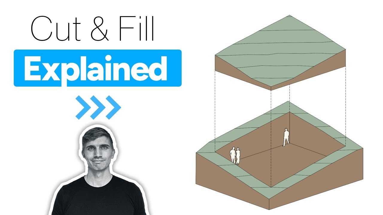
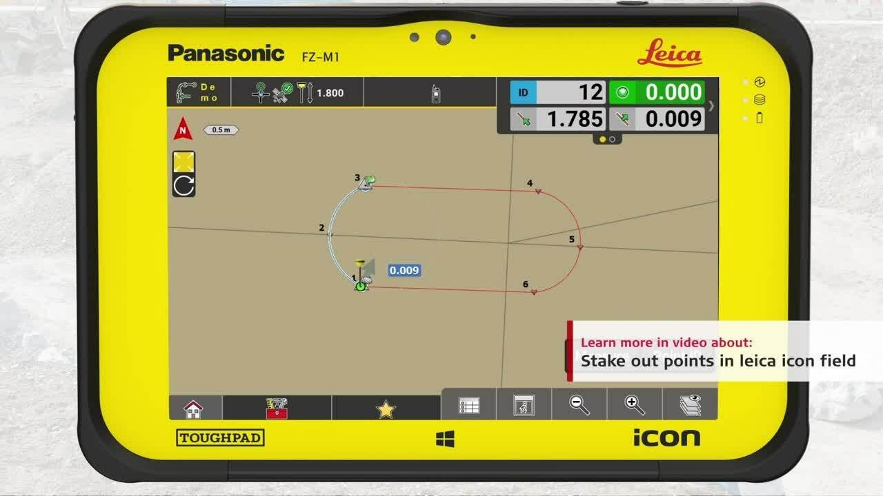
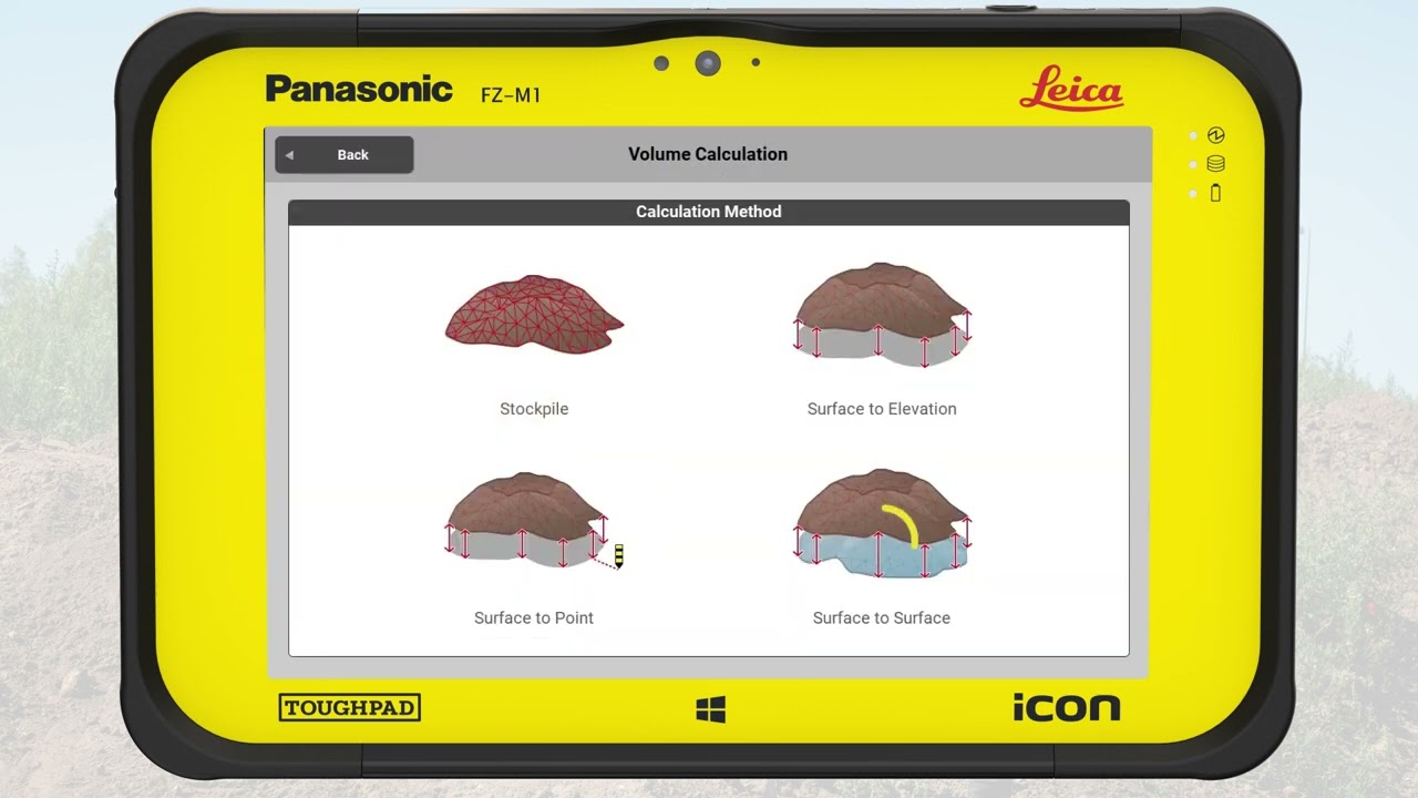
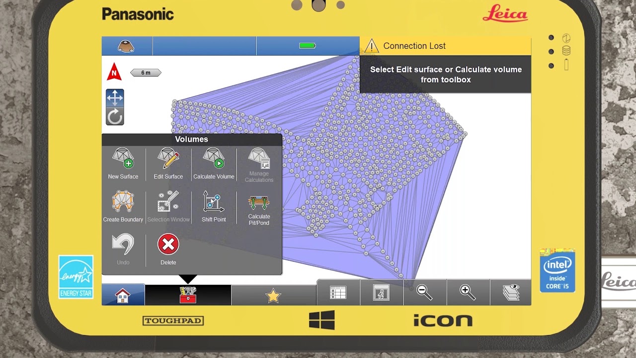
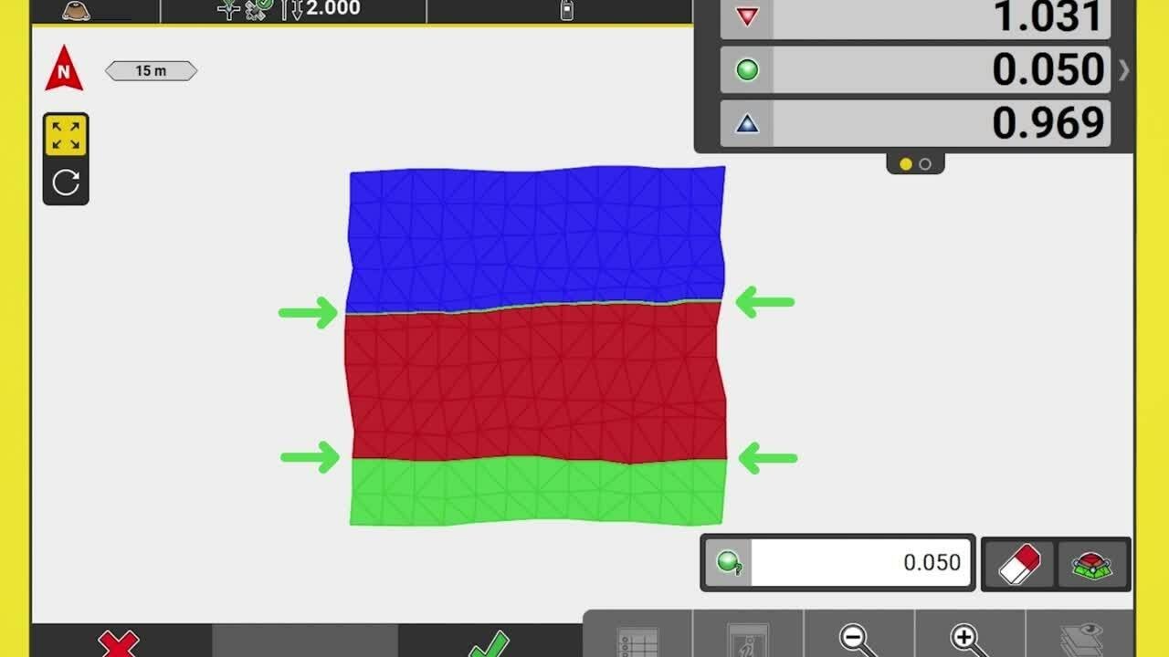
A new function in iCON site with version 7.0, is the cut/fill map. See how easy this is to map a surface and then even the material to the calculated balanced site elevation.
(Leica Geosystems Machine Control Academy project ID 105IA)

How to create a cut and fill map in Leica iCON site

Поделиться в:

Доступные форматы для скачивания:

Скачать видео mp4

  • Информация по загрузке:

Скачать аудио mp3

Похожие видео

Why to use differential milling in Leica iCON site

Why to use differential milling in Leica iCON site

How to stakeout a surface in Leica iCON site

How to stakeout a surface in Leica iCON site

Насколько точен Leica AP20 AutoPole при использовании с тахеометром?

Насколько точен Leica AP20 AutoPole при использовании с тахеометром?

Leica 70T Rover with iCON Site Controller - Automatic Topo of Stockpile with Tilt, Volume, Report

Leica 70T Rover with iCON Site Controller - Automatic Topo of Stockpile with Tilt, Volume, Report

Leica iCON Field Training Videos

Leica iCON Field Training Videos

Вырезать и заполнить — легко

Вырезать и заполнить — легко

Leica Geosystems Machine Control : Using iCON site

Leica Geosystems Machine Control : Using iCON site

How to stake out lines and arcs in Leica iCON site

How to stake out lines and arcs in Leica iCON site

Leica iCON Measure Application

Leica iCON Measure Application

Рекламы с черным юмором. Сборник №1/Black humor commercials. Vol. 1

Рекламы с черным юмором. Сборник №1/Black humor commercials. Vol. 1

Потери России и Украины в период СВО. Разбор и анализ.

Потери России и Украины в период СВО. Разбор и анализ.

New 3D machine control for compact excavators - Leica Geosystems showcase iCON Site Excavator

New 3D machine control for compact excavators - Leica Geosystems showcase iCON Site Excavator

How to create a GNSS rover profile in Leica iCON site

How to create a GNSS rover profile in Leica iCON site

Leica iCON Roading App Tutorial

Leica iCON Roading App Tutorial

Importing Job Files (CSV & DXF) - Leica iCR70 Total Station CS35 10

Importing Job Files (CSV & DXF) - Leica iCR70 Total Station CS35 10" Tablet & iCON Build Software

КВН Культовый номер - Хамовники ТВ

КВН Культовый номер - Хамовники ТВ

Leica GPS Overview - Basic Overview - How to change project designs -Training Video 2

Leica GPS Overview - Basic Overview - How to change project designs -Training Video 2

How to create surfaces and calculate volume in Leica iCON site

How to create surfaces and calculate volume in Leica iCON site

Leica iCON Volumes Application

Leica iCON Volumes Application

How to create surface boundary and breaklines in Leica iCON site

How to create surface boundary and breaklines in Leica iCON site

© 2025 dtub. Все права защищены.


  • Контакты
  • О нас
  • Политика конфиденциальности


Контакты для правообладателей: infodtube@gmail.com