Скачать
interpolation Analysis Using ArcGIS
Автор: Geomatics Academy
Загружено: 2018-06-08
Просмотров: 81549
Описание:
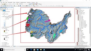
The following video tutorial will describe you how to Interpolates surface using Ground survey GPS elevation points.
Please subscribe our channel ; Geomatics Acadney

Доступные форматы для скачивания:
Скачать видео mp4
-
Информация по загрузке: