From Maps to AI Agents- Part 3: Client-Side Geospatial Analysis
Автор: GeoRetina AI
Загружено: 2025-04-30
Просмотров: 331
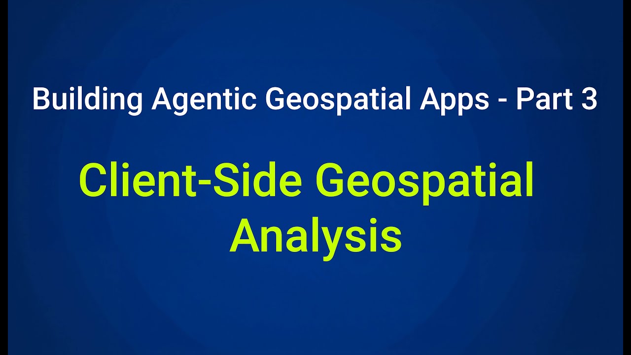
🌍 From Maps to AI Agents – Part 3: Client-Side Geospatial Analysis
This is the third video in this tutorial series on how to build a cutting-edge agentic geospatial application powered by AI and modern web technologies!
In this video, we dive into adding interactive geospatial tools directly into our application! We'll implement client-side vector analysis using Turf.js (calculating Area, Centroid, Distance, and creating Buffers) integrated with Maplibre GL. We'll also build an address search (Geocoding) feature using the Nominatim API.
You can find the starter kit and the code developed in this video in the following GitHub repo:
https://github.com/GeoRetina/geo_agen...
📌 Coming Up Next:
In the next video (Part 4), we'll shift gears slightly and explore how AI can supercharge our development process itself! We'll dive into using AI tools to help us design, write, debug, and optimize our code, covering best practices, prompt engineering techniques for developers, and ways to evaluate and monitor AI-assisted coding workflows.
📣 Stay Connected:
Follow for project updates, tutorials, and behind-the-scenes content:
🔗 LinkedIn: / shahab-jozdani-phd-a3978a189
𝕏: https://x.com/shahab_jozdani
🌐 Website: https://www.georetina.com
🌍 Try our AI Agentic app Chat2Geo: https://chat2geo.georetina.ai/login
#Geospatial #AI #GeospatialAI #TutorialSeries
Доступные форматы для скачивания:
Скачать видео mp4
-
Информация по загрузке: