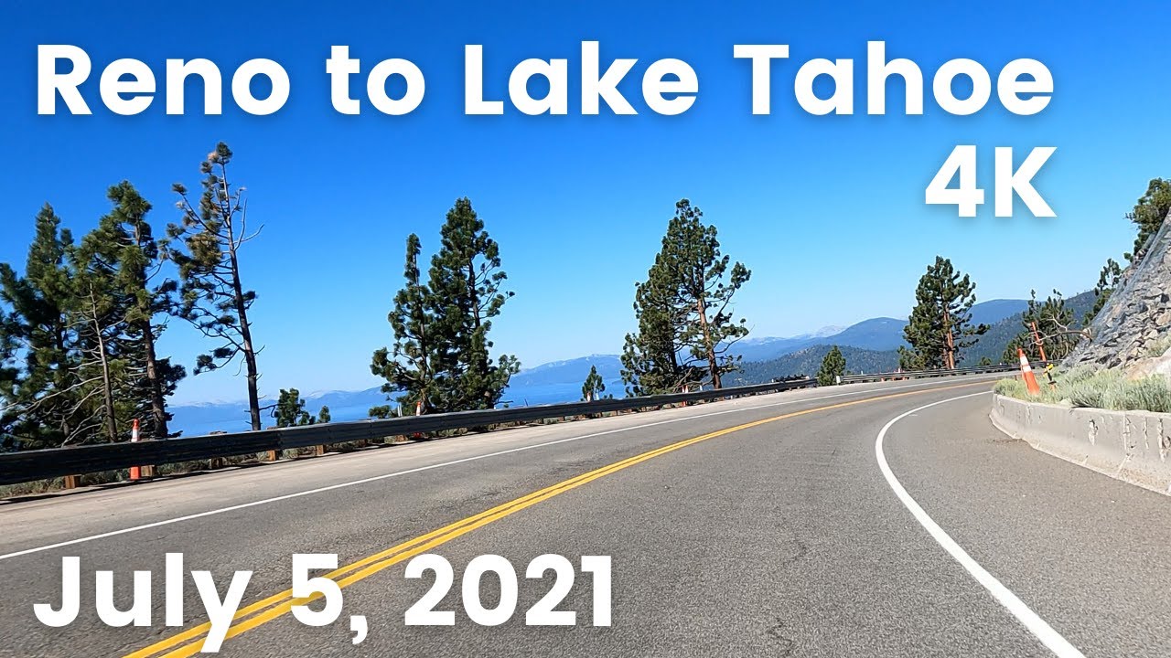
Nevada State Route 28 - South
Автор: Vidlea
Загружено: 2026-01-20
Просмотров: 38
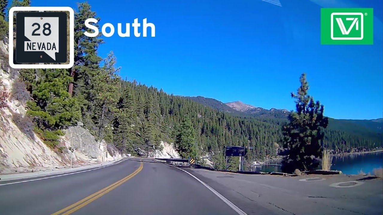
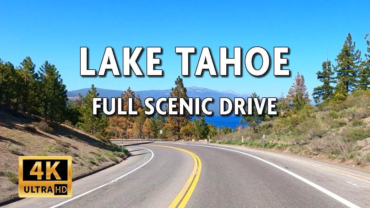
NV-28 is Nevada's Oldest State Highway. It offers a winding two-lane road that hugs the spectacular northeastern shoreline of Lake Tahoe. It offers continuous, breathtaking views of the lake and the Sierra Nevada mountains. The route passes through the Lake Tahoe Nevada State Park, providing access to iconic locations like Sand Harbor (famous for its clear water and summer Shakespeare Festival) and Secret Cove. The road is tightly constrained between the steep mountain slopes and the lake, limiting expansion and contributing to seasonal traffic congestion.
-
The highway begins at a junction with U.S. Route 50, just east of the famed Cave Rock tunnel. This area is technically within the Lake Tahoe Basin Management Unit. The entire length of SR 28 runs through or adjacent to Lake Tahoe Nevada State Park. This is the highway's defining characteristic. It provides direct, crucial access to the park's most famous public beaches and recreation areas such a
Sand Harbor: The crown jewel, known for its massive boulders, crystal-clear water, and the home of the Lake Tahoe Shakespeare Festival.
Secret Cove & Chimney Beach: Popular, more secluded access points to the shoreline.
Spooner Lake: The trailhead for the famous Flume Trail mountain bike route and access to the Tahoe Rim Trail.
The highway meets at a major intersection with SR 431 (the Mt. Rose Highway) in the resort community of Incline Village. SR 431 provides the primary connection north to Reno and U.S. Route 395. Shortly after, NV-28 Enters into California as CA-28. It is The Oldest Numbered State Route In Nevada. and One of Two State Routes that does not have a 3-digit Number. But How?
-
The 1976 Nevada Highway Renumbering was a massive administrative overhaul intended to simplify and bring logic to the state's highway numbering system. Prior to 1976, route numbers were often assigned sequentially as roads were added to the state system, leading to a confusing patchwork (e.g., old SR 1, SR 2, SR 3, etc., scattered across the state).
The goal was to create a coherent grid:
North-South Routes: Generally assigned odd numbers, increasing from west to east.
East-West Routes: Generally assigned even numbers, increasing from south to north.
Why SR 28 Survived:
SR 28 is a rare exception—a pre-1976 route number that was kept and not changed during the renumbering. The primary reasons for its survival are:
Established Identity and Signage: By 1976, SR 28 was already a well-known and signed route for over a decade, crucial for tourism and local travel around Lake Tahoe. Changing the number would have caused significant public confusion and incurred substantial cost to replace all roadway signs, maps, and tourist materials in a high-profile area.
Unique Geographic Context: The route does not fit neatly into the new statewide grid system. It is a short, curvilinear highway confined to a very specific and unique geographic corridor (the Lake Tahoe shoreline). Its local and recreational importance outweighed the bureaucratic desire for numeric consistency.
Federal Highway Connection: SR 28 functions as a critical connecting spur between two major U.S. Highways: U.S. 50 and U.S. 395 (via SR 431). Maintaining its established number likely helped preserve clarity for through travelers navigating between these federal routes.
Contrast with Other Routes: Most other highways were renumbered to fit the new grid. For example:
Near Las Vegas, NV-39 became NV-157.
In Northeastern Nevada, NV-30 became NV-233.
In North Central Nevada, NV-21 Became NV-306.
In North Central Nevada, Part of NV-8A Became NV-305 and NV-376.
From Winnemucca to the Oregon State Line, NV-8 Was replaced by US-95.
NV-28's retention is a testament to its unique functional and economic importance as the signature scenic route for Nevada's portion of the Lake Tahoe basin.
Доступные форматы для скачивания:
Скачать видео mp4
-
Информация по загрузке:


![[Full Version] CALIFORNIA PACIFIC COASTLINE - Driving San Clemente Beach to San Pedro, Orange County](https://imager.clipsaver.ru/fXm16iQENCQ/max.jpg)