Can DJI’s M4E with Propeller's AeroPoints Beat Ground Control? Full Accuracy Breakdown
Автор: Rami Tamimi, P.S.
Загружено: 2025-08-11
Просмотров: 3981
📢 Join The Survey School: https://thesurveyschool.com/
Visit The Survey School for resources to elevate your surveying career. Join our school to access courses, premium content, and a supportive community of professionals.
Propeller Aero
Learn more about Propeller's drone surveying platform, AeroPoints, and their PPK solutions: https://www.propelleraero.com/
Commercial UAV Expo
Join me in Las Vegas from September 2-4 for the Commercial UAV Expo! Use my promo code RAMI100 for $100 off your conference or exhibit hall pass. https://www.expouav.com/
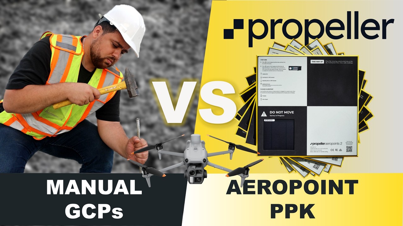
In this video, we put two drone surveying methods to the test on a real 200-acre construction site in Flint, Michigan. Join us as we compare a traditional drone photogrammetry workflow with Propeller's innovative PPK processing solution using their Aeropoints.
Which method will prove to be more efficient and accurate? We'll walk you through the entire process, from setting up ground control points to flying the DJI M4E drone and processing the data. You'll get a detailed look at the streamlined workflow of Propeller's PPK solution and see how it stacks up against a conventional approach.
We'll dive into the final results and compare the accuracy reports from both data sets. You'll see how Propeller's cloud-based platform makes processing and analyzing your survey data simple, from creating detailed 3D models and contour lines to calculating stockpile volumes and overlaying CAD designs.
Whether you're a seasoned surveyor or new to drone mapping, this video will give you a clear understanding of the benefits and workflows of each method.
About the Surveyor
Hi, I’m Rami Tamimi—a professional surveyor and geodetic engineer with over a decade of hands-on experience in land development. My journey in the field has taken me from marking property boundaries to capturing detailed topographies and overseeing construction layouts. My expertise extends into the geospatial world, where I’ve leveraged terrestrial laser scanning, UAS aerial mapping, and mobile mapping to capture landscapes with precision and depth. I also spent three years in automotive tech, fine-tuning sensor alignment, performance, and ground truthing for self-driving systems. Through my YouTube channel, I bring these experiences to life, sharing knowledge, exploring new technologies, and offering insights for anyone passionate about surveying and geospatial science. Join me as I delve into the industry’s latest innovations and continue to build a community of skilled professionals.
0:00 - Introduction
0:19 - Propeller's AeroPoints workflow
1:18 - Setting up traditional Ground Control Points (GCPs)
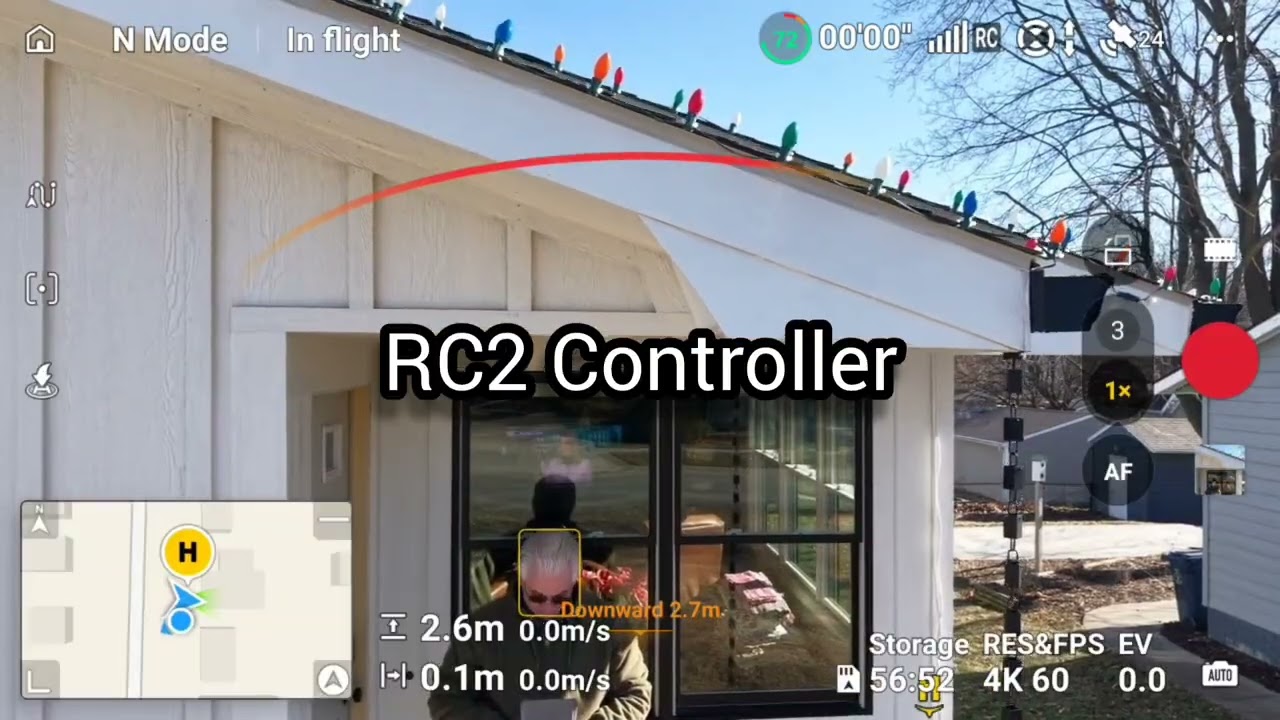
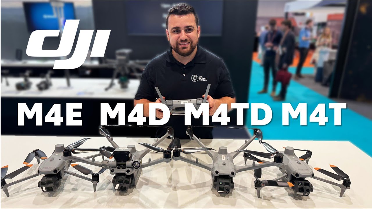
5:40 - The DJI M4E drone flight
9:36 - Propeller's PPK processing workflow
13:11 - A look at the final data outputs
18:03 - The accuracy comparison between both methods
#Surveying #DroneMapping #Photogrammetry #Propeller #PPK #UAV #Geospatial #IFRy #RamiTamimi #SurveySchool #CommercialUAVExpo #FlintMichigan
Доступные форматы для скачивания:
Скачать видео mp4
-
Информация по загрузке: