Скачать
Web Services: NASA Fire Information for Resource Management System (FIRMS)
Автор: NASA Earthdata
Загружено: 2024-09-13
Просмотров: 811
Описание:
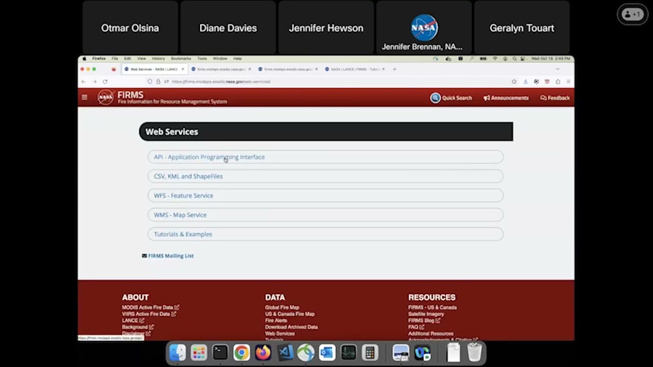
NASA’s FIRMS is a one-stop shop for global near real-time satellite imagery, active fire detections and other data from multiple satellites. FIRMS combines value-added data products to provide critical information for wildfire management organizations and impacted individuals.
In this video, learn how to use NASA FIRMS Web Services do download FIRMS data and use it in GIS such as QGIS, ArcGIS, GoogleEarth or any of your download scripts.
Access NASA FIRMS Web Services: https://firms.modaps.eosdis.nasa.gov/...
Доступные форматы для скачивания:
Скачать видео mp4
-
Информация по загрузке:


