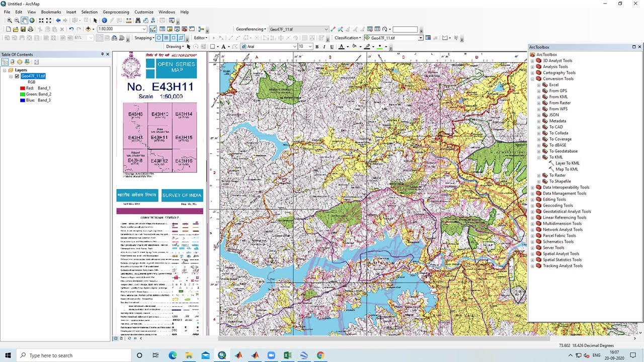
Georeferencing in ArcGIS & How to convert georeferenced image into KML
Автор: Vikas Ghadamode
Загружено: 2020-09-20
Просмотров: 62519
In this video lesson, we will learn how to Georeferencing Survey Of India Toposheet using ESRI's ArcGIS Software and add georeferenced image into Google earth
DOWNLOAD SURVEY OF INDIA TOPOSHEEThttps://studio.youtube.com/video/HLZr...
Join our telegram Group Remote Sensing & GIS Professionals:- https://t.me/joinchat/UhUorR2yhloKeKP...
lesson-1:- • QGIS Lesson-1 QGIS absolute beginners, Geo...
lesson-2 :- • QGIS Lesson-2 Digitization in QGIS, Downlo...
Lesson-3:- • QGIS Lessons-3 Interface of Google Earth P...
Lesson-4:- • QGIS Lessons-4 Download DEM,Create Slope,A...
Lesson-5:- • QGIS Lessons 5 Visualization of DEM in 3D,...
Lesson-6:- • QGIS Lesson 6 doubt clearing session in QGIS
Any Help Contact
Mr.Vikas Ghadamode--Vikasghadamode7@gmail.com
WhatsApp Number= +918421031398
Доступные форматы для скачивания:
Скачать видео mp4
-
Информация по загрузке:


![Как сжимаются изображения? [46 МБ ↘↘ 4,07 МБ] JPEG в деталях](https://image.4k-video.ru/id-video/Kv1Hiv3ox8I)


