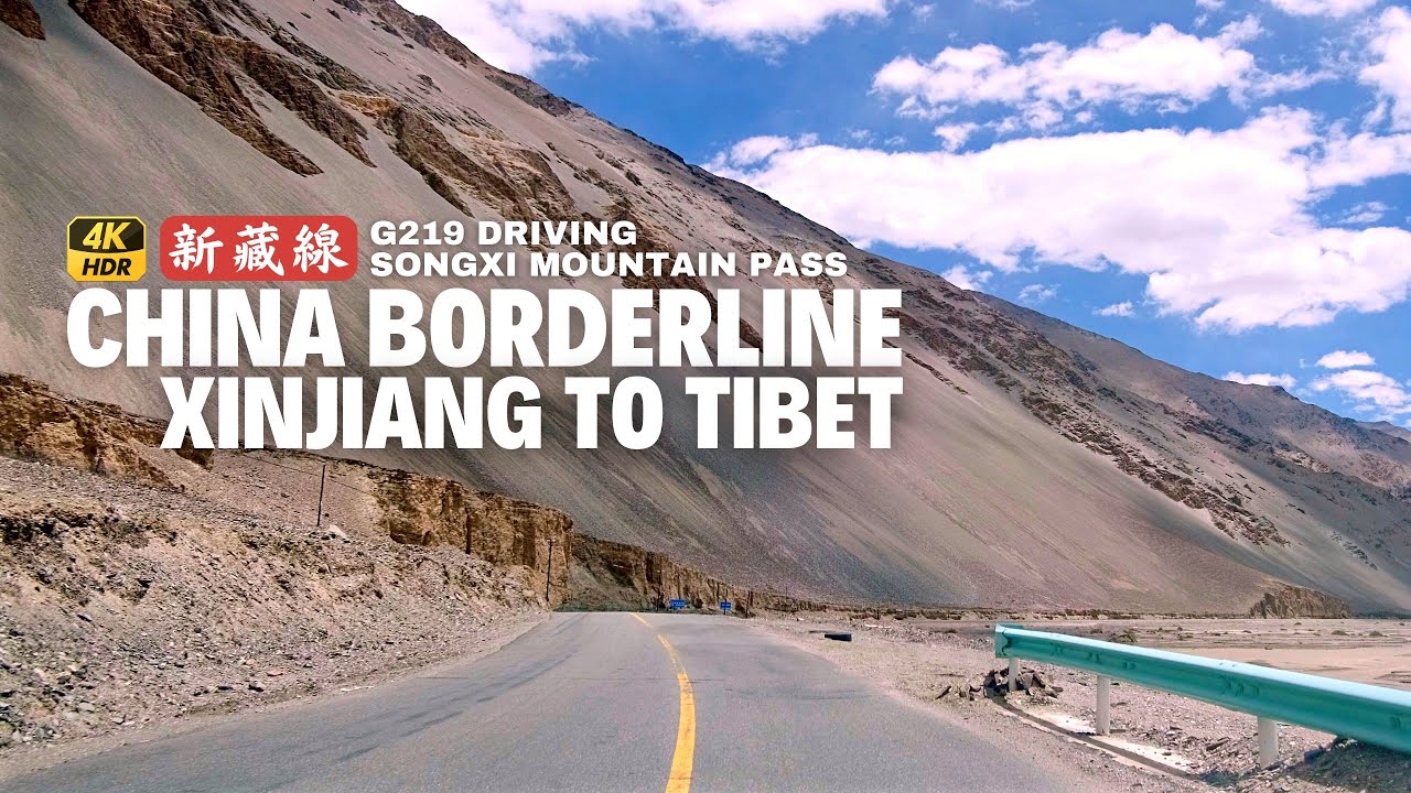
Driving along China Borderline on Xinjiang Tibet Highway - Songxi Mountain Pass | 4K HDR
Автор: Walk China - Канал автопутешествий
Загружено: 2024-01-14
Просмотров: 8922
Driving tour from Xinjiang to Tibet on the China National Highway G219, also known as the Xinjiang-Tibet Highway and the Highest Highway in The World. From Dahongliutan - the last stop in Xinjiang, to Songxi Mountain Pass (5248m) - the highest mountain pass of Highway G219 in Tibet.
⏺ ROUTE OF THIS DRIVING: https://maps.app.goo.gl/47atSHy5EEuz8...
⏺ XINJIANG (Kargilik) to TIBET (Lhasa) G219 HIGHWAY DRIVING LIST:
⏺ XINJIANG SECTION
EP.1 - Kargilik to Karakoram
EP.2 - Karakoram to Kudi (2947m): • Driving in China on Xinjiang Tibet Highway...
EP.3 - Kudi to Mazha (4969m): • Driving in China on Xinjiang Tibet Highway...
EP.4 - Mazha to 30 Miles Barracks (3600m): • Xinjiang-Tibet Highway Driving, Mazha to 3...
EP.5 - 30 miles barracks to Dahongliutan (4217m): • Xinjiang-Tibet Highway Driving - 30 miles ...
⏺ TIBET SECTION
EP.6 - Dahongliutan to Songxi Mountain Pass (5248m): • Driving along China Borderline on Xinjiang...
EP.7 - Songxi Mountain Pass (5248m) via Hongtu Mountain Pass (5380m) to Rutog County: • Driving in Tibet, China along the highest ...
EP.8 - Rutog County to Pangong Tso: • A LAKE DIVIDED between CHINA and INDIA - P...
EP.9 - Pangong Tso to Gar County (Senge Zangbo, Sênggêkanbab in Tibetan) via Rutog: • Tibetan Plateau Highway Driving-Pangong La...
⏺ MORE EPISODES - https://bit.ly/3OrMynI
⏺ INTRO OF CHINA HIGHWAY G219
Xinjiang-Tibet Highway, traditionally refers to National Highway 219 (while the central section of National Highway 216 is called the second line of Xinjiang-Tibet Highway), it starts from the zero-kilometer stele in Yecheng County, Kashgar, Xinjiang in the north, and ends in Lazi County, Shigatse, Tibet in the south. The 2,140-kilometer stele in Wuxiang is where the China-Nepal Highway section of National Highway 318 intersects, also known as Yela Highway. You can go to Lhasa instead of going from Urumqi to Lhasa, which is an important route to Tibet.
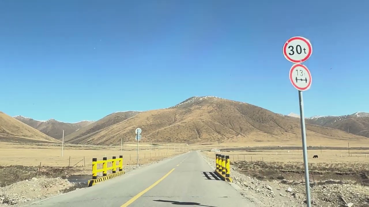
The average altitude of this highway is more than 4500 meters, and the annual average temperature is -9°C. Along the way, there are 5 mountains above 5,000 meters, 16 icebergs (or mountain passes), and 44 glaciers. It is the highest difficult road in the world, and some sections are dangerous.
The desolate area of this road is long: there are only 3 villages and 1 town in the Xinjiang section, and there are hundreds of miles of uninhabited land after that, and few villages and towns in the Ngari area of the Tibet section. The distance between Yecheng and Shiquanhe Town is more than 1,000 kilometers. For a long time, only the plateau motor soldiers guarding the border pass here, or a few truck drivers, now some tourists begin to appear.
On October 5, 1957, the Xinjiang-Tibet Highway (from Yecheng, Xinjiang to Ngari, Tibet) was completed and opened to traffic, with a total length of 1,179 kilometers. From 1956 to 1957, a simple gravel road was built, the narrowest point was only 2.5 meters, and it was expanded in the next few decades. Before 2013, it was very dangerous: long uninhabited land, mudslides, landslides, and heavy snow barriers. Later, it was rebuilt and built into an asphalt road. The Xinjiang section still needs to be improved. Damaged roads and difficult sections are concentrated in the 360 kilometers from Yecheng to the Sanshili barracks. There are still problems such as mudslides and landslides in the three Daban (high mountain passes) in Xinjiang.
Xinjiang entering Tibet, starting from Yecheng at an altitude of 1,365 meters, and reaching an average altitude of more than 4,500 meters. The oxygen became thinner, and some people had a strong altitude reaction. The armed police on the Xinjiang-Tibet highway rescued thousands of tourists.
Since 2013, it has been an asphalt road, and the number of tourists has decreased significantly, and most of them have turned to other deserted roads along the Xinjiang-Tibet lines.
#xinjiang #driving #travel
Доступные форматы для скачивания:
Скачать видео mp4
-
Информация по загрузке: