Скачать
eBee RTK - The Survey-Grade Mapping Drone
Автор: senseFly, an AgEagle company
Загружено: 2015-01-20
Просмотров: 258124
Описание:
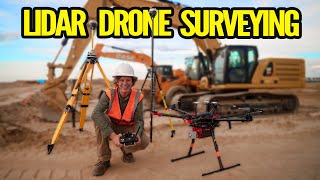
Experienced land surveyor Brock Ryder explains how the eBee RTK survey-grade mapping drone can be used to produce orthomosaics & 3D models with absolute accuracy of down to 3 cm - without the need for Ground Control Points. Learn more: https://www.sensefly.com/drone/ebee-x...

Доступные форматы для скачивания:
Скачать видео mp4
-
Информация по загрузке: