Скачать
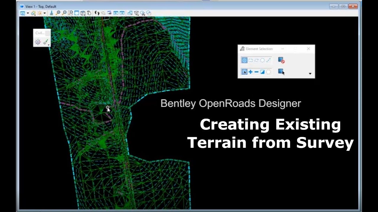
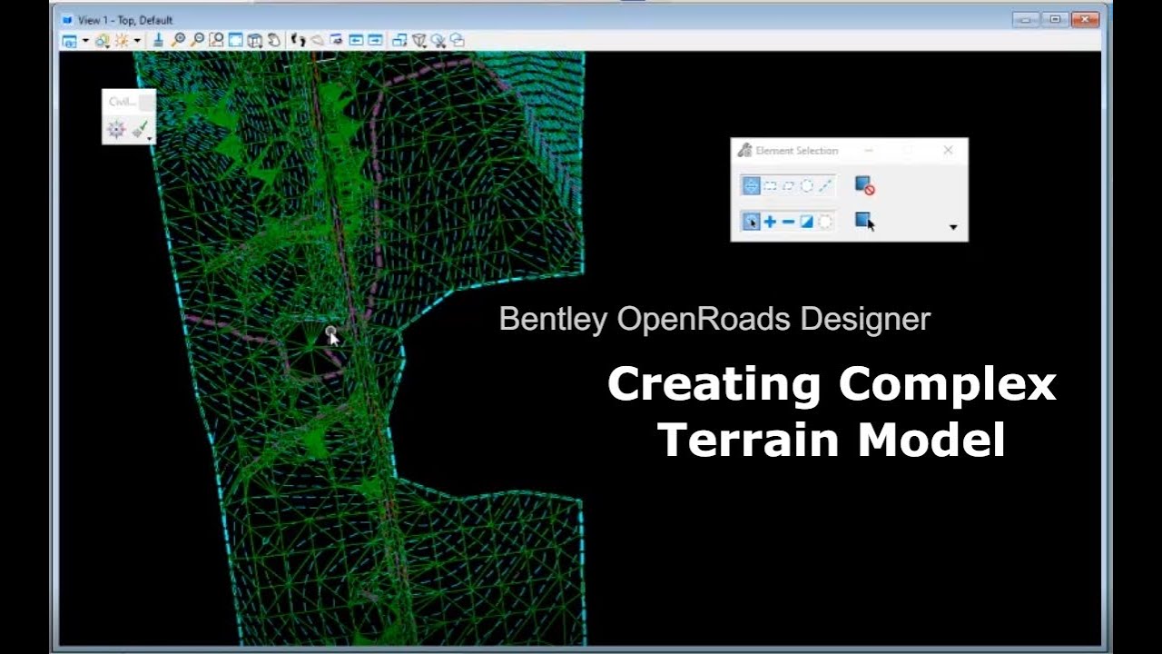
ORD 1-2. Creating an Existing Terrain from Survey - Ascii File
Автор: Mesa Integrated Solutions
Загружено: 2021-09-29
Просмотров: 792
Описание:
Learn how to create an existing terrain model from survey data - Ascii file in Bentley OpenRoads Designer. Set up a text import wizard to speed up redundant processes. Create and edit text import setting file. Understand space delimited separators and the difference between importing terrain and features.
OpenRoads Video Tutorials
Learn more https://mesais.com/
Доступные форматы для скачивания:
Скачать видео mp4
-
Информация по загрузке:


![[2026] Feeling Good Mix - English Deep House, Vocal House, Nu Disco | Emotional / Intimate Mood](https://imager.clipsaver.ru/cxLdtvzf2sI/max.jpg)


![«Эгоистичный ген» Ричарда Докинза [Veritasium]](https://imager.clipsaver.ru/Unxh6MnVIWc/max.jpg)


![[4K FULL HD] Relaxing Water Background | 1 HOUR | Calm Water Wallpaper (No Sound)](https://imager.clipsaver.ru/y9PTNTSpGJs/max.jpg)