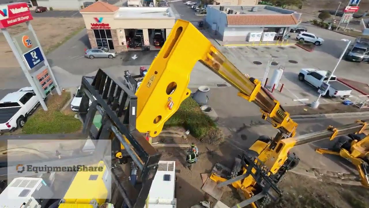
Equipment Share San Diego
Автор: Commercial Drones Dispatch
Загружено: 2026-01-10
Просмотров: 25
This video documents a real-world EquipmentShare construction project using high-resolution drone aerial mapping, site progress tracking, and visual documentation to give contractors, project managers, and stakeholders a crystal-clear view of what’s happening on the ground.
Using professional UAVs, we capture orthomosaic mapping, elevation data, earthwork progress, material staging, and overall site logistics to help teams stay on schedule, avoid delays, and reduce costly rework. This is exactly how modern construction companies are replacing boots-on-the-ground reporting with aerial intelligence.
Every flight provides:
A full overhead view of the jobsite
Accurate progress tracking over time
Visual records for billing, compliance, and disputes
Data that integrates directly into EquipmentShare project management systems
Drone-based site surveys are becoming the standard for civil construction, grading, utilities, telecom, solar, and infrastructure projects because they provide faster, safer, and more accurate data than traditional surveying alone.
If you manage construction projects, coordinate heavy equipment, or need real-time site visibility, this is what next-generation jobsite monitoring looks like.
Доступные форматы для скачивания:
Скачать видео mp4
-
Информация по загрузке: