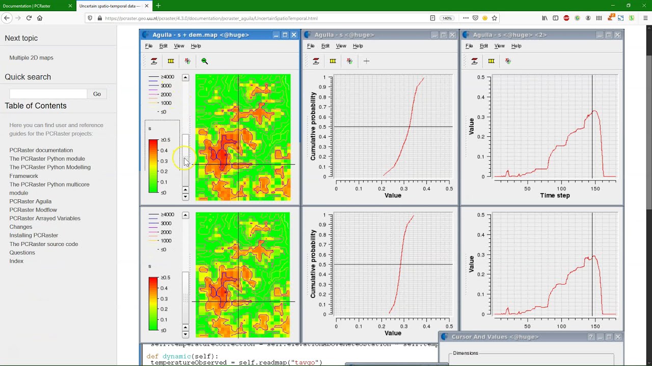
Introduction to the PCRaster Environmental Modelling Language
Автор: Hans van der Kwast
Загружено: 2021-03-07
Просмотров: 2665
This video is part of the open course Programming for Geospatial Hydrological Applications.
In this course you'll learn an essential skill for researchers dealing with (spatial) data. With scripting you can better control your analysis using command line tools. You can also automate your procedures by writing batch scripts. Furthermore, you can process your data and make models using Python and its useful libraries.
The online learning course on Programming for Geospatial Hydrological Applications is part of the Climate Services for Water Management (CliMWaR) project, funded by the Flemish UNESCO Science Trust Fund (FUST) from the Government of Flanders in Belgium.
The course is available at the GIS OpenCourseWare platform (http://www.gisopencourseware.org) and the UNESCO Open Learning platform (https://openlearning.unesco.org/cours....
More about PCRaster: http://www.pcraster.eu
Please subscribe to the PCRaster mailing list.
#GISOCW #IHEDelft
Доступные форматы для скачивания:
Скачать видео mp4
-
Информация по загрузке: