USGS Earth Explorer Tutorial: How to Download Satellite Imagery | Landsat, Sentinel & More
Автор: GIS Gallery
Загружено: 2025-01-30
Просмотров: 831
🚀 Learn How to Download Satellite Imagery from USGS Earth Explorer! 🌍
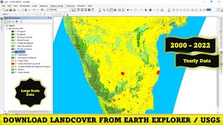
In this tutorial, I will walk you through the process of using USGS Earth Explorer to search and download satellite images. Whether you're working on GIS projects, remote sensing, or land cover analysis, this guide will help you access free satellite datasets like Landsat, Sentinel, and more.
🔍 What You’ll Learn:
✅ How to register and log in to USGS Earth Explorer
✅ Exploring different datasets and imagery options
✅ Searching for satellite imagery using coordinates or shapefiles
✅ How to download Landsat satellite images for GIS & remote sensing
✅ Tips for selecting the best imagery for your project
📌 Subscribe to GIS Gallery for More GIS & Remote Sensing Tutorials!
🔔 Don't forget to like, share, and comment if you found this video helpful!🚀 Learn How to Download Satellite Imagery from USGS Earth Explorer! 🌍

Доступные форматы для скачивания:
Скачать видео mp4
-
Информация по загрузке: