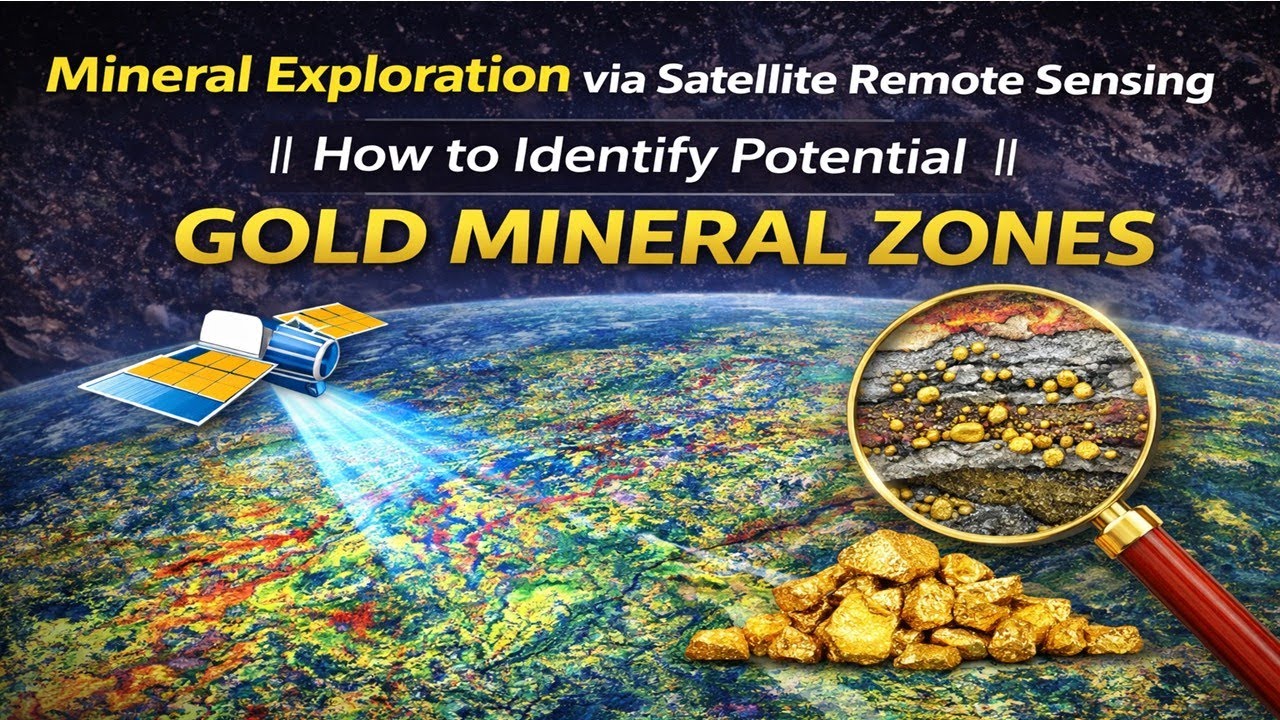
NDVI with class range in Google Earth Engine
Автор: Study Hacks-Institute of GIS & Remote Sensing
Загружено: 2026-01-25
Просмотров: 83
Check all details for the upcoming online training program from our website: https://www.studyhacksgeospatial.com/...
7 days of online training on Master Google Earth Engine for Remote Sensing & GIS analysis for beginners to advanced course contents: • New batch: Class Start on 19th July - Mast...
Registration is now open for the 38th Batch of 7-days comprehensive online live training on Google Earth Engine (GEE) for Remote Sensing and GIS Analysis using JavaScript and Python APIs integration with QGIS and ArcGIS pro, tailored for beginners to advanced learners. Designed specifically for non-coders, this course empowers you with advanced geospatial skills—no prior programming knowledge is required!
These classes will teach you all the necessary things to start using GEE for your remote sensing analysis. We primarily focus on individuals who are unfamiliar with programming languages and the Earth Engine function. We cover LULC mapping, Change detection Analysis, Air quality Monitoring, Time series analysis, calculating any Indices, Supervised Classification, Unsupervised Classification, Machine Learning Methods, NDVI change detection, and more.
Class Start: 21 February, 2026
Admission Deadline: 20 February, 2026
Class Schedule:
Duration: 7 days (Fridays & Saturdays in a week)
Time: 9:00 PM – 1:00 AM (GMT +6)
Language: English
Online Training Benefits
Ø * Course Certificate (After submitting all Assignments)
Ø * Materials (Slide, PDF)
Ø * Practice Code (All codes provide)
Ø * Recorded Class (All classes recorded video provided)
Ø * Lifetime teaching support
For more information about registration, visit our website: https://www.studyhacksgeospatial.com/...
For Registration, Contact this Email: rmijanur10266@gmail.com
Or WhatsApp 24/7: +8801780942798
Course Content:
1st day:
Introduction to GEE
How to use GEE JavaScript and Python API with QGIS and ArcGIS pro
Learn the basic principles of JavaScript syntax and python
Client vs. Server object on GEE
How you get the server to execute your code?
Importing Raster and Vector Data: Local storage & GEE Dataset
Filtering Attribute Table
2nd day:
Filtering and Displaying Satellite Images: Landsat , Sentinel
Satellite Composite
Band combinations
Export Satellite Imagery: Landsat , Sentinel, and Modis
Import, Filter, Reduce, Clip, and display Raster data in GEE
Time series Chart of NDVI using the GEE readymade dataset
Export Any Shapefile
3rd day
Calculating Any Indices from Satellite Images using Landsat and Sentinel
Filtering and Displaying Satellite Images: Sentinel-2 and Monitoring NDWI, NDVI
Extract water body using Thresholding
NDVI, NDWI , SAVI, and all indices Time series Chart using Landsat and Sentinel
Export Any Shapefile from GEE
How to add Gradient Legend and Title on GEE
NDWI Calculated from Modis and Landsat data
4th day:
How to remove cloud and Haze from satellite imagery- Landsat and Sentinel
Visualization (DEM) of Hill shade and Slope Map in GEE using NASA SRTM and Aster
Land surface temperature (LST) Monitoring from Landsat satellite imagery and Modis
How to calculated Average , Maximum, Minimum NDVI any specific region
GEE: How to make monthly Evapotranspiration
5th day:
Air Quality Monitoring: all parameters
How to Download Air Quality parameters Time series data in CSV format using GEE
Air Quality Monitoring Time Series chart
Air Quality Monitoring: How to calculate total emission of nitrogen oxide or any gases in GEE using sentinel-5p
ArcMap software: How to make research paper map using GEE & ArcMap software
6th day:
Introduction to Machine Learning in GEE
How to make LULC Map using Machine Learning: Supervised and Unsupervised algorithms
Random forest, CART, SVM, Minimum distance classifier to make LULC
How to Check LULC accuracy assessment using GEE. (Kappa, Producers & Consumers accuracy)
Calculate LULC classes Area
How to add a Legend in LULC Map
How to Export LULC and make a research paper LULC map using ArcMap
7th day:
Land-Use and Land-Cover Change Detection using GEE
NDVI change detection using GEE
Class-wise LULC change detection in ONE layer using GEE
Hyperparameter Tuning for Improving the accuracy of your machine learning model
Stay Connected:
Telegram Group: https://t.me/gisandremotesenginglearn...
YouTube Channel: / @gisrsinstitute
Instagram: / geospatial_analysis_learning
Twitter: https://x.com/GISRSStudyHacks
Facebook Page: / gisrsinstitute
Доступные форматы для скачивания:
Скачать видео mp4
-
Информация по загрузке: