Скачать
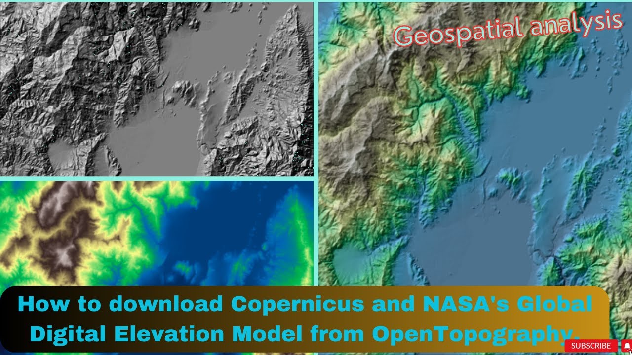
How to download Copernicus DSM/DEM and NASA DEM from OpenTopography
Автор: Geospatial Analysis
Загружено: 2023-04-05
Просмотров: 14855
Описание:
How to download Copernicus DSM/DEM and NASA DEM from OpenTopography for free
Доступные форматы для скачивания:
Скачать видео mp4
-
Информация по загрузке:


