Скачать
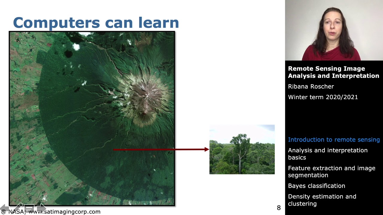
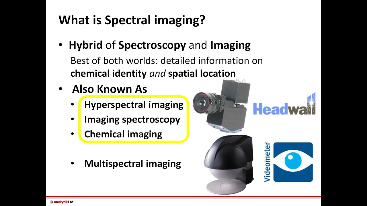
Introduction to Hyperspectral Remote Sensing

Доступные форматы для скачивания:
Скачать видео mp4
-
Информация по загрузке: