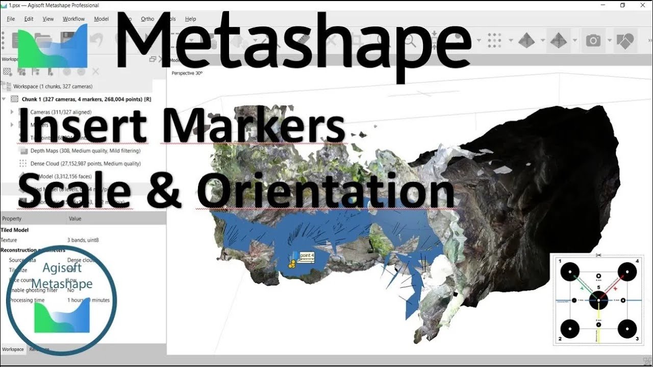
How to orient and scale 3D Model Agisoft Metashape - cómo orientar y escalar modelo 3D
Автор: A Benrabah
Загружено: 2024-10-26
Просмотров: 590
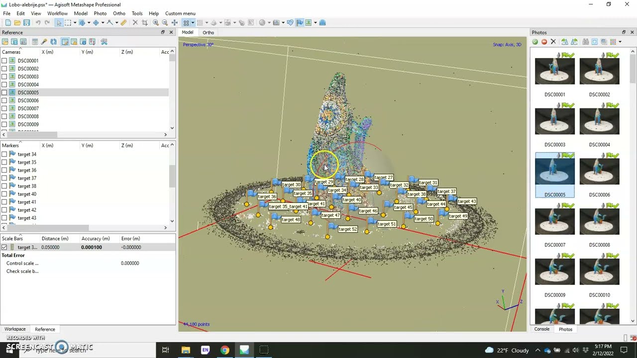
In this video, I’ll guide you through the process of orienting and scaling a 3D point cloud model to align it accurately with real-world coordinates. Specifically, we’ll focus on how to achieve precise orientation towards the north and scale the model using a set of Ground Control Points (GCPs). For this purpose, I’ll demonstrate how to use a unique and powerful tool called the 'portable orientation template.'
The portable orientation template is an innovative alternative to conventional topographic control devices. It functions similarly to a large-scale compass, and it is specifically designed to be both portable and easy to use in field settings. The template consists of five Ground Control Points strategically positioned to establish reference points, along with three primary axes (x, y, and z). The y-axis of the template can be aligned to true north with the help of a standard compass, ensuring that the orientation is consistent with geographical coordinates. Additionally, a spirit level is used to confirm that the template is positioned horizontally on the ground.
This setup allows us to accurately orient and scale any 3D point cloud generated from photogrammetry or LiDAR data without needing sophisticated topographic devices. By knowing the exact distances between the GCPs on the template, it serves as a reliable reference plan for real-world scaling. This approach significantly enhances the precision of the model and makes the data collection process more efficient and accessible in diverse environments.
#3dpointcloud #GroundControlPoints #PortableOrientationTemplate #Georeferencing #Photogrammetry #AgisoftMetashape #3DModeling #Geomechanics #GeologicalAnalysis #RockMechanics #SfM #DigitalMapping #PointClouds #3DReconstruction #3DScanning #Mapping #AerialPhotography #DroneMapping #Geospatial #Surveying #DataVisualization #3DModel #VirtualReality #AugmentedReality #SpatialAnalysis #ComputerVision #ImageProcessing #LiDAR #ModelGeneration #TerrainModeling #CaveMapping #NaturalResources #Construction #Engineering #LandscapeModeling #EarthSciences #Research #ScientificVisualization #HeritageConservation #GeotechnicalEngineering #Mining #Petrophysics #StructuralGeology #RemoteSensing #FieldSurvey #3DPrinting #Education #OnlineLearning #Tutorial #HowTo #STEM #CivilEngineering #Geology #DigitalTwin #RealityCapture #DataCollection #GIS #EnvironmentalScience #RockEngineering #StructuralAnalysis #Civil3D #ConstructionTech #SoftwareTutorial #3DVisualization #Geodesy #LandSurveying #SiteAnalysis #ConstructionManagement #CaveSurvey #UndergroundMapping #TechnicalSkills #Innovation #Technology #DataAnalytics #3DModelingSoftware #SoftwareTraining #DigitalPhotography #TechnicalTutorial #3DVisualizations #Academia #ResearchCommunity #ScientificResearch #ProfessionalDevelopment #DataScience #EngineeringEducation #ModelingTechniques #EngineeringGraphics #PhotogrammetricSurveying #CaveExploration #ScientificMethods #GeomechanicalModels #DataIntegration #EducationalContent #3DImaging #CompassAlignment #ReferencePlan #FieldEquipment #ScaleModeling #GeologicalMapping #DigitalSu
Доступные форматы для скачивания:
Скачать видео mp4
-
Информация по загрузке: