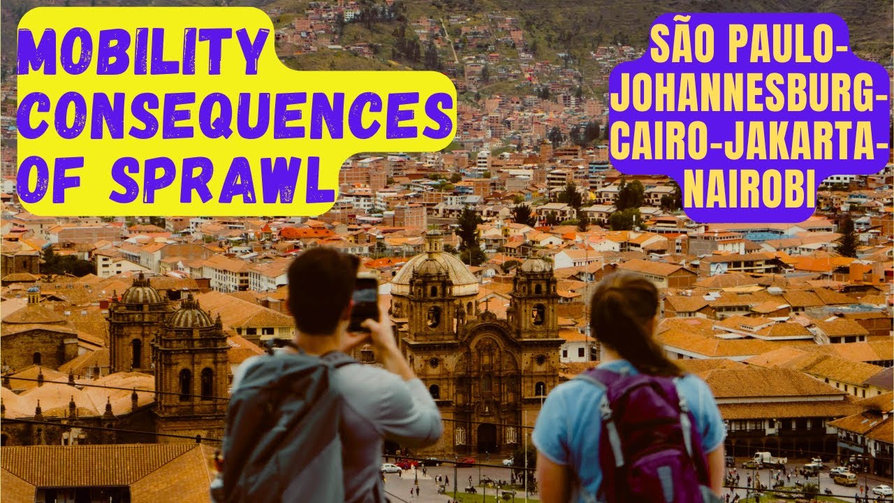
The Global South’s Sprawl Problem (And What It Does to Mobility) - C1M1E4
Автор: UrbanHistory
Загружено: 2025-12-18
Просмотров: 167
C1M1E4
Summary:
Our cities keep getting bigger, wider, and harder to cross, and it's not just your imagination. This video explores the concept of urban sprawl in developing countries, illustrating its effects with images of traffic congestion and expanding residential areas, particularly in the global south. I highlight significant challenges like long commute and the lack of transit viability, emphasizing the importance of urban planning and land use planning to manage urban density effectively.
-----------------------
What Exactly Is Urban Sprawl?
Urban sprawl is characterized by:
Low-density development
Long distances between home, work, and services
Car dependency
Fragmented, leapfrog growth
Informal or unplanned settlements far from the center
Why Do Cities Sprawl? Let’s Break It Down
A. Population Growth Faster Than Planning
B. Cheap Peripheral Land
C. Weak Regulatory Systems
D. Housing Shortages in the Urban Core
E. Car-Centered Infrastructure
Cairo — “The Capital That Grew Into the Desert”
Cairo is one of the most dramatic cases of sprawl anywhere.
Cairo’s metro area grew from 2.5 million in 1950 to over 22 million today.
Its urban footprint expanded more than sixfold since the 1970s.
New “satellite cities” built in the desert — 6th of October, New Cairo, Sheikh Zayed — were planned for 6 million residents but now attract over 10 million.
Cairo didn’t just sprawl… it sprawled into the desert.Massive land is available, but services and transit lag behind.
Average speed in peak hours: 10–12 km/h.
Average one-way commute: 72 minutes.
Cairo loses 4% of GDP to congestion.
Nairobi — “The Long, Skinny City”
Nairobi’s sprawl is shaped by a combination of colonial planning, fragmented land ownership, and rapid population growth.
Population: grew from 350,000 in 1963 to ~5.3 million today.
Urban area: expanded by over 500% since independence.
Only 10% of the population lives near formal public transit corridors.
Nairobi sprawled along highways leading to suburbs like Rongai, Kiambu, Syokimau, and Thika.
Average speed during rush hour: 7–10 km/h.
Some commuters spend 3–4 hours daily in matatus or cars.
Johannesburg — “The World’s Largest Urban Footprint (Probably)”
Joburg covers ~2,500 km² — larger than London, New York, and Singapore combined.
Density: 3,000 people/km², compared to Paris at 21,000/km².
Population has spread outward into huge suburbs: Sandton, Soweto, Randburg, Midrand.
Why so spread out?Apartheid spatial planning forced racial segregation — white suburbs were large and low-density, Black townships were far away, and highways physically separated areas.
Car ownership is high: over 60% of households.
Buses cover only 7% of trips; minibus taxis carry 65%, often over long distances.
Average commute time: 59 minutes.
Jakarta — “The City That Keeps Expanding… on Water”
Metro area population: 35 million.
Urban footprint: expanded more than 800% since 1970.
Some districts are growing at 4% per year.
The city is sinking by up to 25 cm per year in parts.
Jakarta sprawls outward because the center is overcrowded, and land prices skyrocketed.People move into suburbs like Bekasi, Bogor, Depok, and Tangerang — forming “Jabodetabek,” a mega-region.
Average commute: 1.5–2 hours each way.
70% of trips are made on motorcycles and informal buses.
Congestion cost: USD 4–5 billion annually.
Urban planning here is like trying to build a sandcastle while the tide keeps coming in.
São Paulo — “Sprawl Meets Vertical Explosions”
Metro population: over 22 million.
Urban area: spans over 8,000 km² — one of the largest on Earth.
Car ownership: 8.6 million private vehicles (more than many countries).
Daily vehicle trips: ~156 million.
The suburbs — Guarulhos, Osasco, São Bernardo — became massive commuter zones.
Pre-pandemic, Paulistanos spent ~3 hours per day in traffic.
In 2014, São Paulo recorded a 344 km long traffic jam — the longest ever measured.
What Do These Sprawled Cities Have in Common?
A. High Population Growth
B. Limited Affordable Housing in the Center
C. Lack of Strong Transit Networks
D. Car-Centric Policies
The Mobility Consequences of Sprawl
1. Longer Commutes
2. Congestion Everywhere
3. Lack of Transit Viability
4. Higher Emissions
5. Social Inequality
6. Infrastructure Costs
Why Sprawl Happens More in Developing Countries
Urban sprawl looks different in Cairo than in Los Angeles because:
Mortality dropped faster than infrastructure expanded.
Homes are built informally, without developers controlling form or density.
Cars are aspirational, and motorcycles are affordable.
Planning institutions are underfunded.
What Can Cities Do to Tame Sprawl?
A. Build Transit First
B. Strengthen Housing Policies
C. Improve Local Services
D. Use BRT and Metro as Growth Anchors
E. Formalize Informal Settlements
F. Tax Vacant Land
#urbanplanning #urbansprawl #suburbansprawl #suburbia #developingcountries #globalsouth #johannesburg #nairobi #saopaulo #sãopaulo #brazil #landuse #urbanpolicy
Доступные форматы для скачивания:
Скачать видео mp4
-
Информация по загрузке: