Популярное

Музыка Кино и Анимация Автомобили Животные Спорт Путешествия Игры Юмор

Интересные видео

2025 Сериалы Трейлеры Новости Как сделать Видеоуроки Diy своими руками

Топ запросов

смотреть а4 schoolboy runaway турецкий сериал смотреть мультфильмы эдисон
dTub
Скачать

Harnessing Remote Sensing Innovations to Empower National Government GIS

Автор: Esri Industries

Загружено: 2021-12-01

Просмотров: 961

Описание:

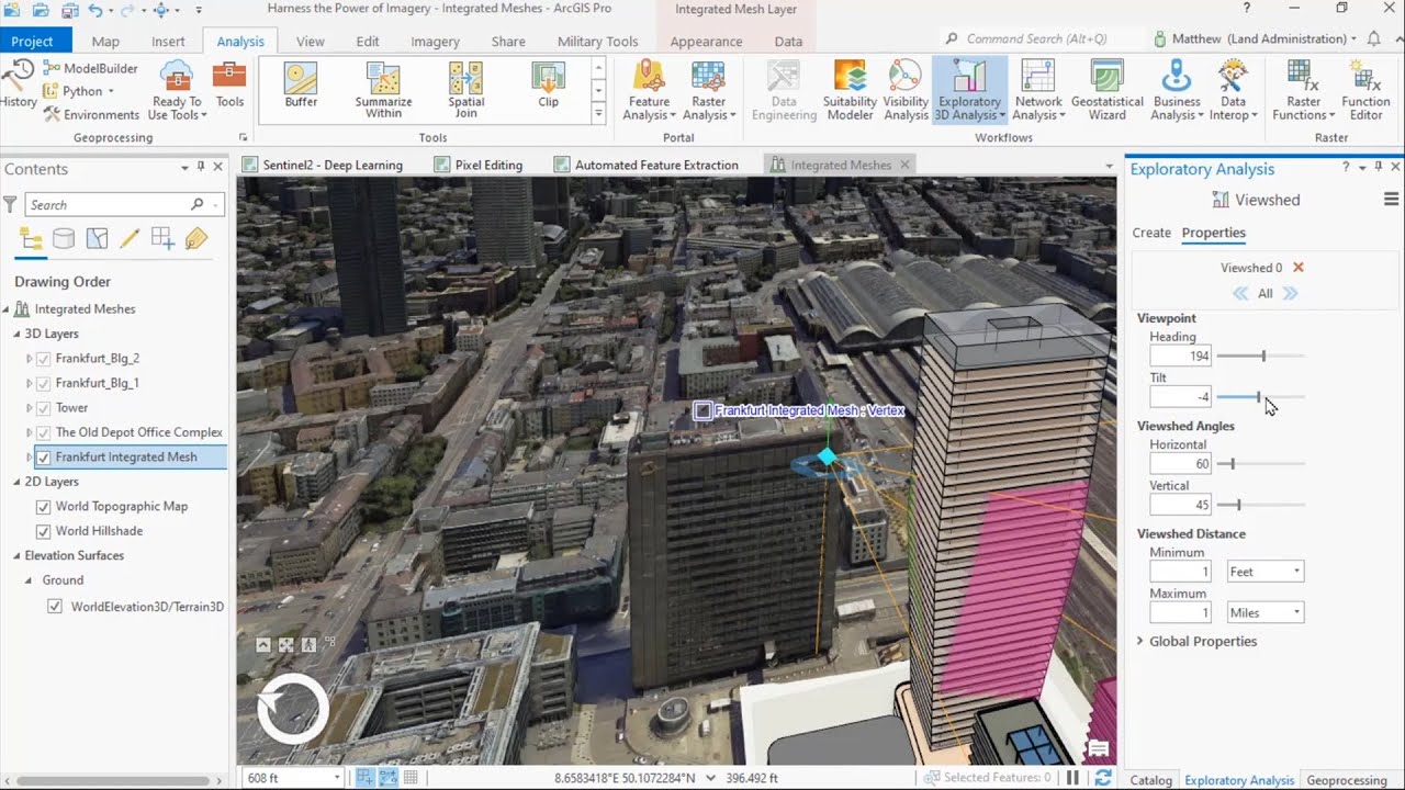
Many national government planning and policy decisions can be enhanced with timely 3D GIS acquired through a modern remote sensing approach. Areas of interests, unbounded by space or time, can be modeled as detailed geographic digital twins providing in depth awareness and analysis. This webinar will demonstrate the application of image processing within ArcGIS to smartly transform remotely sensing content from drones, aircraft, and satellites into actionable 3D information.

---------------------------------------------------------------------------------------------------
Follow us on Social Media!
Twitter:   / esri  
Facebook:   / esrigis  
LinkedIn:   / esri  
Instagram:   / esrigram  

The Science of Where: http://www.esri.com

Harnessing Remote Sensing Innovations to Empower National Government GIS

Поделиться в:

Доступные форматы для скачивания:

Скачать видео mp4

  • Информация по загрузке:

Скачать аудио mp3

Похожие видео

ArcGIS Imagery & Remote Sensing

ArcGIS Imagery & Remote Sensing

Как используется дистанционное зондирование LiDAR для автономных транспортных средств?

Как используется дистанционное зондирование LiDAR для автономных транспортных средств?

Wyjaśniamy o co chodzi z Grenlandią. Czy naprawdę może wybuchnąć wojna USA-Dania?

Wyjaśniamy o co chodzi z Grenlandią. Czy naprawdę może wybuchnąć wojna USA-Dania?

DOMINACJA CZERWONYCH DIABŁÓW! PIĘĆ GOLI, TRZY NIEUZNANE! MAN UNITED - MAN CITY, SKRÓT MECZU

DOMINACJA CZERWONYCH DIABŁÓW! PIĘĆ GOLI, TRZY NIEUZNANE! MAN UNITED - MAN CITY, SKRÓT MECZU

Creating Dynamic, Real-Time Maps with Operations Dashboard for ArcGIS

Creating Dynamic, Real-Time Maps with Operations Dashboard for ArcGIS

The Man Behind Google's AI Machine | Demis Hassabis Interview

The Man Behind Google's AI Machine | Demis Hassabis Interview

SCTCA Planning Advisory Committee - December 18, 2025

SCTCA Planning Advisory Committee - December 18, 2025

How AI is Transforming Remote Sensing Applications

How AI is Transforming Remote Sensing Applications

Seestar S30 Pro Review: The Best Smart Telescope Ever?

Seestar S30 Pro Review: The Best Smart Telescope Ever?

Capturing Reliable Data in the Field

Capturing Reliable Data in the Field

Site Scan for ArcGIS

Site Scan for ArcGIS

RasterFlow: Planetary Scale Inference Engine for Earth Intelligence

RasterFlow: Planetary Scale Inference Engine for Earth Intelligence

Supercharging a New FDA: Marty Makary on Science, Power & Patients

Supercharging a New FDA: Marty Makary on Science, Power & Patients

The Power of Where: A Geographic Approach to the World's Greatest Challenges | Official Trailer

The Power of Where: A Geographic Approach to the World's Greatest Challenges | Official Trailer

Esri Drone Solutions - Every Workflow Covered

Esri Drone Solutions - Every Workflow Covered

LiDAR360MLS V9 | Procesamiento MLS: Nube de puntos+imágenes, extracción de activos, carreteras, 3DGS

LiDAR360MLS V9 | Procesamiento MLS: Nube de puntos+imágenes, extracción de activos, carreteras, 3DGS

Я в опасности

Я в опасности

Processing 3DEP LiDAR Point Clouds with Purdue's Data to Science Open Source Pipelines | 11/21/2025

Processing 3DEP LiDAR Point Clouds with Purdue's Data to Science Open Source Pipelines | 11/21/2025

GIS & Construction Better Together: Infotech and Esri

GIS & Construction Better Together: Infotech and Esri

Ziemkiewicz MIAŻDŻY reformy Nowackiej: to tresowanie niewolników, a nie szkoła!

Ziemkiewicz MIAŻDŻY reformy Nowackiej: to tresowanie niewolników, a nie szkoła!

© 2025 dtub. Все права защищены.


  • Контакты
  • О нас
  • Политика конфиденциальности


Контакты для правообладателей: infodtube@gmail.com