PyGIMLi
Автор: SEG
Загружено: 2024-05-08
Просмотров: 1487
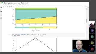
In this webinar, we introduce you to pyGIMLi, an open-source software for Geophysical Inversion and Modelling. After giving some general information on pyGIMLi, we will demonstrate its potential by inverting field ERT data through adding increasing complexity using Jupyter Notebooks. It starts with simple raw data analysis and geometries to more complex settings, time-lapse and induced polarization. We demonstrate the capability of pyGIMLi take to control by different regularization schemes, region-specific settings, limits and petrophysical constraints, and incorporating additional data like structural boundaries and point data. We provide material for further reading and playing.

Доступные форматы для скачивания:
Скачать видео mp4
-
Информация по загрузке: