Emlid GNSS: The FREE Surveying Hack No One Talks About
Автор: Flying Surveyor
Загружено: 2025-02-20
Просмотров: 4333
📅 Work with me to improve your drone accuracy
https://www.stefanengineering.co.uk/b...
✅ Need professional land surveying?
Get in touch now 👉 https://www.stefanengineering.co.uk
📱 Connect on LinkedIn: / stefan-niculescu-80150853
Video Chapters:
00:00 Introduction
00:40 Setup
00:47 How GNSS Post Processing Works
12:39 How Easy is PPK Surveying With Emlid?
06:52 Emlid PPK Accuracy Test
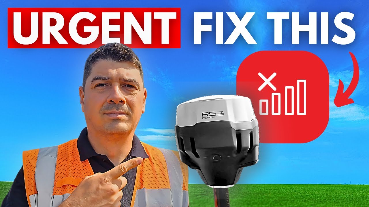
Imagine you're at a job site, ready to start surveying, but there’s no mobile signal and no RTK corrections. Your GNSS rover or drone can’t get accurate positioning. Now what?
In this video, I’ll show you a simple, free method to get high-accuracy GNSS data even in remote areas. This technique, called GNSS Post-Processing, has been used for years but isn’t talked about enough. It’s easy to do and can save you time and money.
What You’ll Learn in This Video:
How GNSS Post-Processing works – A way to fix your data and make it more accurate
How easy it is to use – Step-by-step instructions to do it yourself
How accurate it really is – Testing it against total station measurements
What You Need:
A Base Station – A fixed GNSS reference point (we use OS Net in this video)
A Rover – A GNSS receiver (we use the Emlid Reach RS3)
Processing Software – Emlid Studio to process the data and improve accuracy
Why This is Important:
RTK doesn’t always work – If you don’t have internet or corrections, you need another solution
Post-Processing makes data more accurate – Like checking yesterday’s weather report for a better forecast
We test it for you – Comparing GNSS post-processing to total station results to see how well it works
If you have any questions, drop them in the comments—I’ll answer every one.
#GNSS #LandSurveying #EmlidRS3 #RTK #DroneMapping #SurveyingTech #PostProcessing #PPK #SurveyorLife
Доступные форматы для скачивания:
Скачать видео mp4
-
Информация по загрузке:


