Strong Cold Frontal Passages with Very Strong/Gusty Winds - Pompton Plains, NJ December 19, 2025
Автор: Alex Colgate
Загружено: 2025-12-21
Просмотров: 74
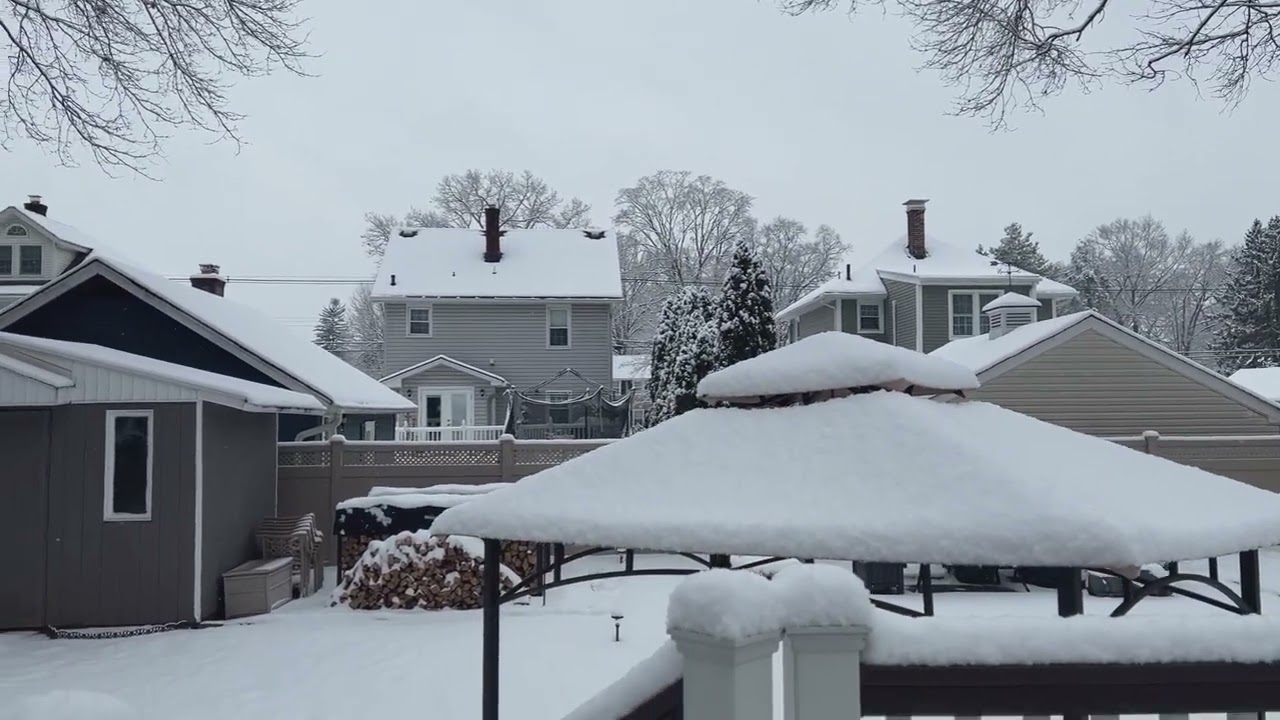
In typical NJ fashion, the weather at the end of this week was a lot different than the start of it. After getting a decent snowstorm last Sunday and having a couple very cold days after that, all the snow that was on the ground was pretty much gone by Friday morning due to a low pressure system bringing heavy rains and temperatures rising up into the 50s. A warm front moved through the region late Thursday night which brought heavy rains of up to 1.50 inches overnight into early Friday morning, which pretty much depleted any of the snow pack that remained on the ground outside of a few small patches here and there. Temperatures also warmed up into the mid-50s Friday morning, making it feel pretty Spring-like outside. In the warm sector, there was also strong southerly wind gusts of up to around 40 MPH, which brought some downed trees and power outages due to saturated soils from the heavy rains. However, this wasn't really anything compared to the main show we would get during the daytime hours Friday. Right after the main rain area moved out in the morning, a cold front followed right on its heels soon after, which brought some wind gusts up to 50 MPH, this time out of the west/southwest. After this first cold front moved through, there was a lull in the weather and it was actually a pretty nice day for a few hours with partly cloudy conditions and temperatures in the low-50s. Then in the mid-afternoon, the main show finally arrived with a secondary cold frontal passage. What I saw with this cold front was pretty unusual for a few days before Winter, as it was more something of what I would see in the Spring or early Fall. There was actually severe thunderstorm warnings issued for this squall line for severe-level wind gusts up to 60 MPH (even though this wasn't a true thunderstorm, but it did actually produce thunder and lightning in a few spots), which I don't recall ever happening in December. The severe warning turned out to be justified, because sure enough we had a burst of damaging wind gusts up to 55-60 MPH when the squall line moved through. Luckily, there wasn't much damage around my house except for a branch that fell on my neighbor's property, which thankfully didn't hit anything. There was some downed trees across other parts of the town and many communities across northern/central NJ lost power. Even after this moved through, strong synoptic cold-air advection wind gusts continued on for a few hours, which brought back in cold Canadian air by the evening/night hours. Temperatures dropped 10 degrees with the actual cold front into the low-40s, and this continued to drop into the evening into the 30s and upper 20s. The weather looks a lot calmer for Christmas week and we will actually get a bit of snow Monday night/Tuesday morning.

Доступные форматы для скачивания:
Скачать видео mp4
-
Информация по загрузке: